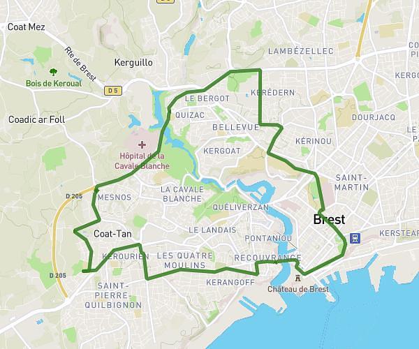
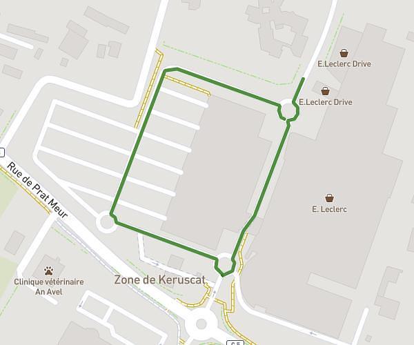
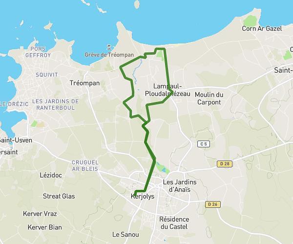
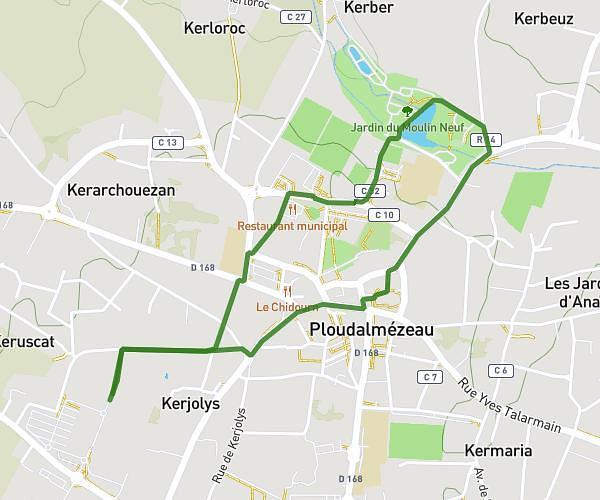
This running route covers 9.118mi starting from Brest, Finistère. The run is a loop trail and returns to the trailhead. This run is rated as hard, expect about 1h20m to complete it. The route has an elevation gain of 1289ft and an elevation loss of 1289ft.
KERLEGUER
Route details
6.84mph
Speed
915 kcal
Calories burned
Loop trail
Route type
7ft
Min altitude
223ft
Max altitude
Route profile
1289ft
Elevation gain
1289ft
Elevation loss
7ft
Min altitude
223ft
Max altitude
How to get there
Trailhead: 15 Rue Des Halles Saint-Louis, 29200 Brest, France
GPS coordinates of the trailhead: 48.389771, -4.489144 / 48°23'23'' N, 4°29'20'' W