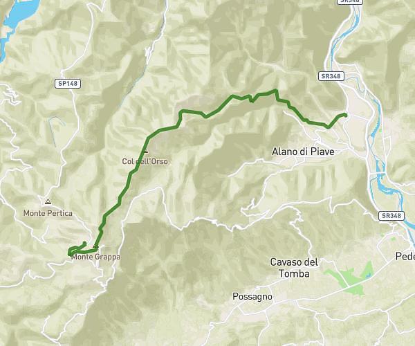
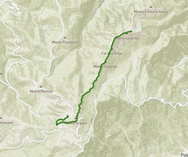
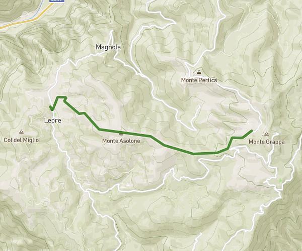
Explore this hiking route of 13.19km starting from Pove del Grappa, Vicenza. The hike does not return to the starting point and ends near Località Travaglietta, 36029 Valbrenta. This hike is rated as intermediate, plan for about 6h35m to complete it. The route has a positive elevation gain of 1112m and a negative elevation loss of 79m.
POVE-LEPRE
Route details
Route profile
1112m
Elevation +
79m
Elevation -
160m
Min altitude
1193m
Max altitude
How to get there
Route starting point: Via Romanelle, 36020 Pove del Grappa
GPS coordinates of the starting point: 45.79718, 11.72822 / 45°47'49'' N, 11°43'41'' E
Calculate the time to reach the starting point from your location or an address