A successful hike begins long before you take the first step on the trail.
Preparing your backpack is essential, but anticipating your route, estimating the effort required, and planning your hiking time are just as important.
Have you chosen a route suitable for your level? Do you know the actual distance you will cover? Have you estimated the walking time including elevation gain?
Planning ahead helps avoid unpleasant surprises and allows you to approach your hike calmly and methodically.
Plan Your Route Carefully
The first step is to clearly define your route:
Total distance
Elevation gain and loss
Terrain type
Possible water sources
Alternative routes in case of fatigue or bad weather
Using a topographic map or digital planning tool is essential to obtain this information.
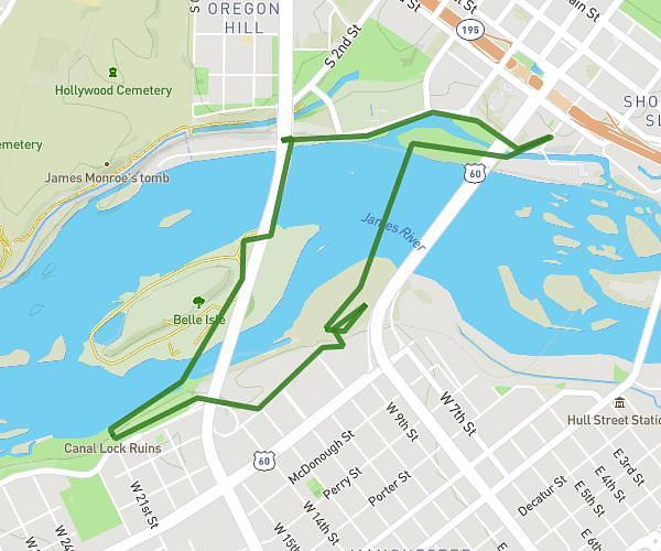
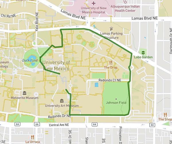
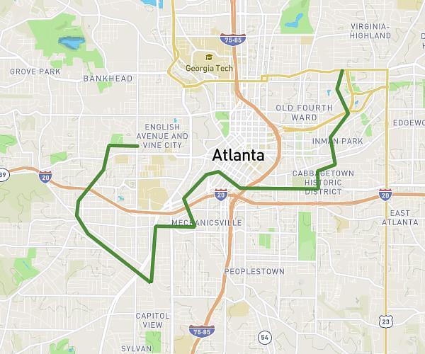
To automatically estimate distance and duration, you can use tools such as https://www.map-planner.fr/.
This type of tool allows you to draw your route, calculate the exact distance, and obtain an estimated walking time based on terrain and elevation.
It provides a reliable base to adapt your equipment, food, water, and departure time.
Plan your own route
MapPlanner helps you calculate distances, elevation, duration and plan your hikes, runs and bike rides on an interactive map.
- Automatic distance & elevation calculation
- Topographic, satellite maps
- GPX/KML export for your GPS
- Real-time GPS tracking
How to Estimate Hiking Time
Beyond automatic estimations, it is useful to know how to calculate approximate hiking time yourself.
Here is a simple rule for estimating walking time (excluding breaks).
Uphill
Allow 15 minutes for every 100 metres of elevation gain.
Add 15 minutes per kilometre walked horizontally.
Downhill
Allow 15 minutes for every 200 metres of elevation loss.
Add 15 minutes per kilometre walked horizontally.
Example
For a hike with:
8 km distance
600 m elevation gain
Estimated calculation
Horizontal distance: 8 km = 8 × 15 min = 120 minutes
Elevation gain: 600 m ÷ 100 = 6 × 15 min = 90 minutes
Total estimated time (excluding breaks): 210 minutes, or about 3 hours 30 minutes.
This method provides a realistic estimation and helps avoid underestimating the effort required.
Evaluate Your Physical Condition
Good preparation also requires an honest assessment of your fitness level.
Are you used to this level of elevation gain?
Have you recently walked this distance?
Is the weight of your backpack suitable for your condition?
It is better to increase hiking difficulty progressively rather than aiming for an overly ambitious route from the start.
Check the Weather Forecast
Checking the weather forecast the day before and on the morning of your hike is essential.
Thunderstorm risk
Strong winds
Significant temperature drops
Snow conditions at higher altitude
Weather directly influences:
Clothing choice
Equipment to bring
Departure time
Starting early often helps avoid intense heat or afternoon storms.
Know the Trail Difficulty
Not all trails have the same level of difficulty.
Easy marked trails
Mountain paths with technical sections
Alpine terrain requiring experience and caution
Choosing a route adapted to your experience is a fundamental safety principle.
Inform Someone Before Leaving
Before starting your hike, it is recommended to share:
Your planned route
Approximate return time
Number of participants
In case of an incident, this information can help facilitate rescue operations.
Summary
Preparing properly for a hike means:
Studying your route
Calculating distance and hiking time
Using planning tools such as map-planner.fr
Applying a simple time estimation rule
Assessing your physical condition
Checking weather conditions
Informing someone of your plans
Preparation is a key factor for both safety and comfort.
The more carefully you plan ahead, the more enjoyable and controlled your experience in nature will be.