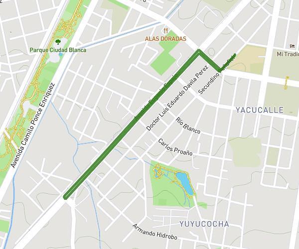
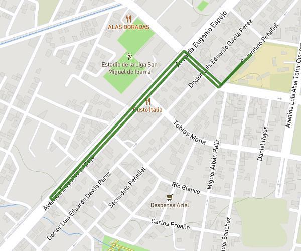
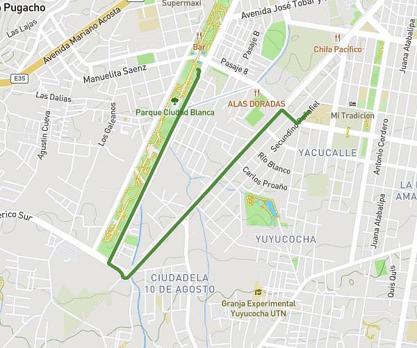
This running route covers 2.556mi starting from Ibarra, Imbabura. The run does not return to the trailhead and ends near Secundino Peñafiel, Ibarra - Imbabura, 1001, Ecuador. This run is rated as easy, expect about 27m25s to complete it. The route has an elevation gain of 148ft and an elevation loss of 157ft.
5k uesjd
Route details
5.59mph
Speed
313 kcal
Calories burned
Point to point
Route type
7247ft
Min altitude
7343ft
Max altitude
Route profile
148ft
Elevation gain
157ft
Elevation loss
7247ft
Min altitude
7343ft
Max altitude
How to get there
Trailhead: Avenida Camilo Ponce Enriquez, Ibarra - Imbabura, 1001, Ecuador
GPS coordinates of the trailhead: 0.340963, -78.134881 / 0°20'27'' N, 78°8'5'' W