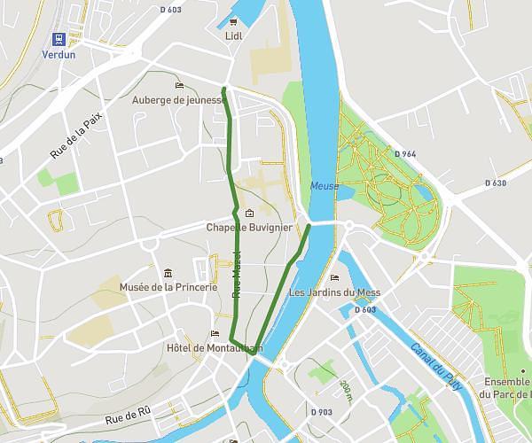
This hiking trail covers 8.267mi starting from Bras-sur-Meuse, Meuse. The hike is a loop trail and returns to the trailhead. This hike is rated as moderate, plan for about 3h19m to complete it. The route has an elevation gain of 965ft and an elevation loss of 965ft.
Marche
Route details
2.49mph
Speed
1448 kcal
Calories burned
4.4%
Avg grade
Loop trail
Route type
640ft
Min altitude
1178ft
Max altitude
Route profile
965ft
Elevation gain
965ft
Elevation loss
640ft
Min altitude
1178ft
Max altitude
How to get there
Trailhead: 11a Avenue De Douaumont, 55100 Bras-sur-Meuse, France
GPS coordinates of the trailhead: 49.21042, 5.37768 / 49°12'37'' N, 5°22'39'' E