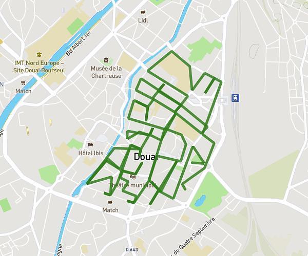
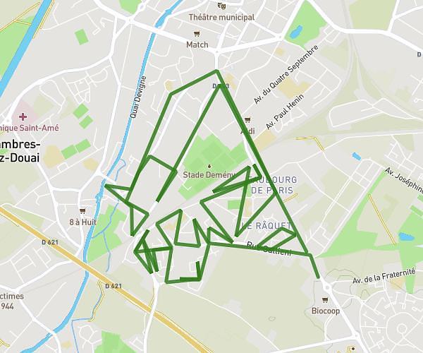
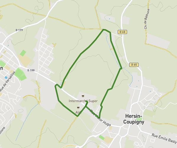
This running route covers 4.12mi starting from Angres, Pas-de-Calais. The run is a loop trail and returns to the trailhead. This run is rated as easy, expect about 44m12s to complete it. The route has an elevation gain of 397ft and an elevation loss of 400ft.
Dodine
Route details
5.59mph
Speed
505 kcal
Calories burned
Loop trail
Route type
180ft
Min altitude
417ft
Max altitude
Route profile
397ft
Elevation gain
400ft
Elevation loss
180ft
Min altitude
417ft
Max altitude
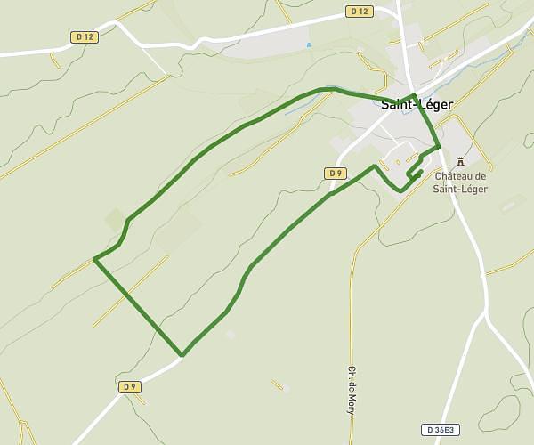
How to get there
Trailhead: 4 Rue D'arcole, 62143 Angres, France
GPS coordinates of the trailhead: 50.404118, 2.763991 / 50°24'14'' N, 2°45'50'' E