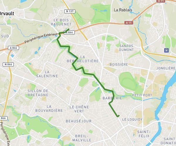
Explore this running route of 4,977mi starting from Le Cellier, Loire-Atlantique. The run does not return to the starting point and ends near 23 Chemin Des Bosselles, 44850 Le Cellier, France. This run has no defined difficulty level, expect about 45m to complete it.
le cellier 8km
Route details
How to get there
Route starting point: 1 Route De La Cale De Clermont, 44850 Le Cellier, France
GPS coordinates of the starting point: 47.326479, -1.329953 / 47°19'35'' N, 1°19'47'' W