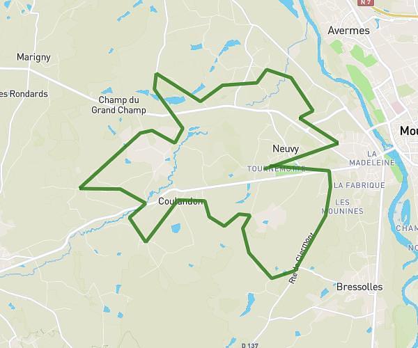
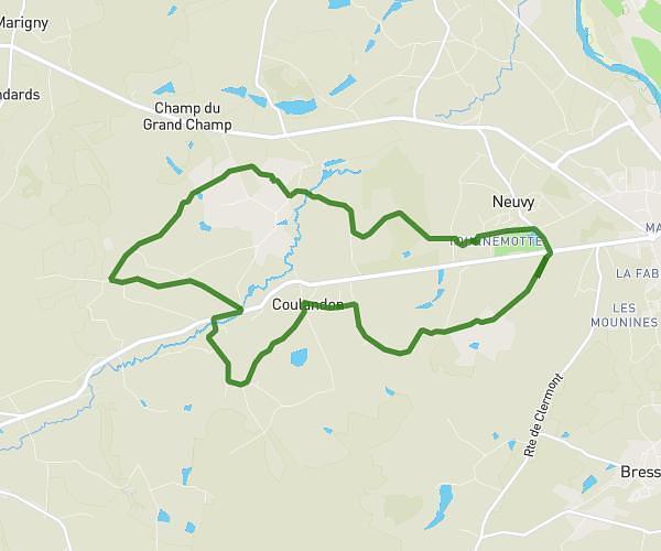
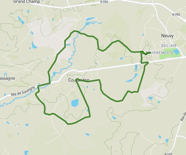
This running route covers 7.986mi starting from Neuvy, Allier. The run is a loop trail and returns to the trailhead. This run is rated as hard, expect about 1h26m to complete it. The route has an elevation gain of 482ft and an elevation loss of 482ft.
Jogging
Route details
5.57mph
Speed
983 kcal
Calories burned
Loop trail
Route type
705ft
Min altitude
883ft
Max altitude
Route profile
482ft
Elevation gain
482ft
Elevation loss
705ft
Min altitude
883ft
Max altitude
How to get there
Trailhead: 11 Rue De La Cardamine, 03000 Neuvy, France
GPS coordinates of the trailhead: 46.557732, 3.283445 / 46°33'27'' N, 3°17'0'' E