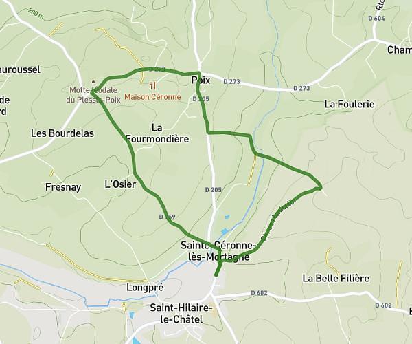
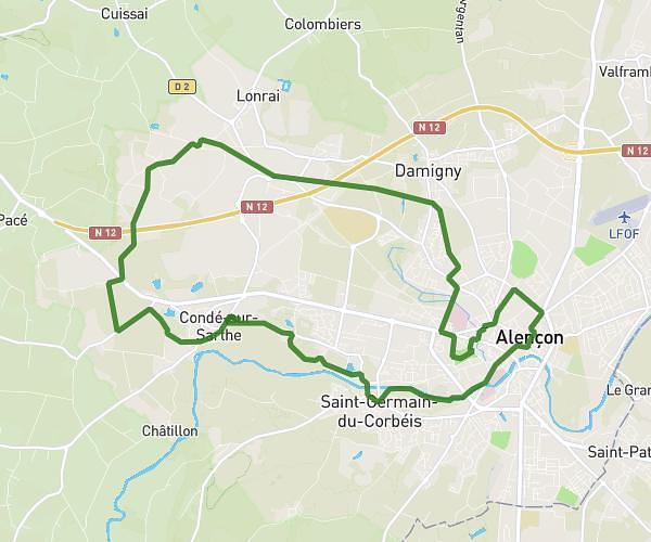
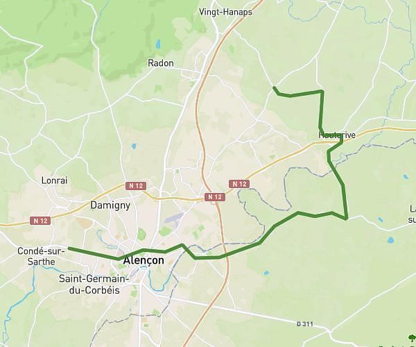
This running route covers 13.785mi starting from Larré, Orne. The run does not return to the trailhead and ends near 45 Rue D'alençon, 61250 Condé-sur-Sarthe, France. This run is rated as strenuous, expect about 2h15m to complete it. The route has an elevation gain of 413ft and an elevation loss of 410ft.
Charline
Route details
6.13mph
Speed
1544 kcal
Calories burned
Point to point
Route type
427ft
Min altitude
515ft
Max altitude
Route profile
413ft
Elevation gain
410ft
Elevation loss
427ft
Min altitude
515ft
Max altitude
How to get there
Trailhead: D 31, 61250 Larré, France
GPS coordinates of the trailhead: 48.494802, 0.164033 / 48°29'41'' N, 0°9'50'' E