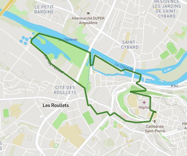
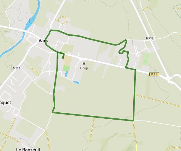
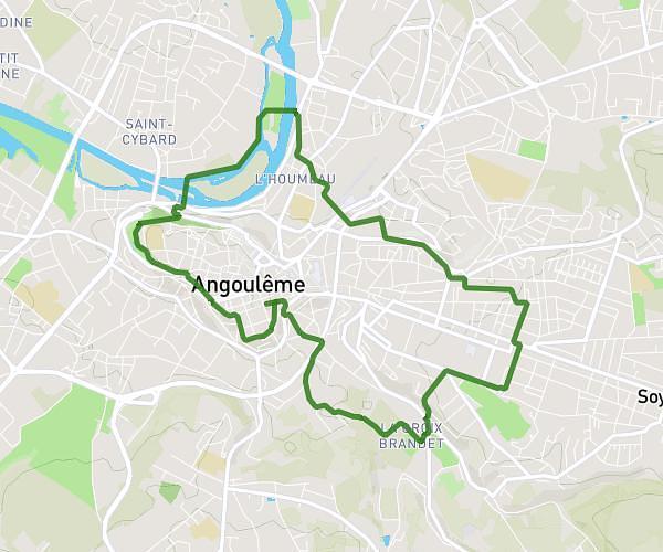
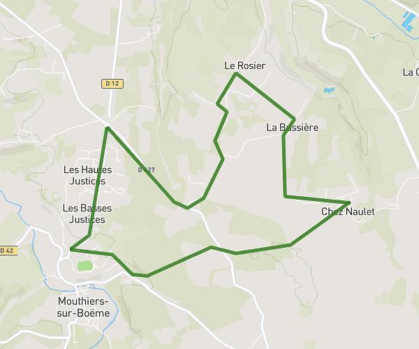
This running route covers 17.503mi starting from Mainxe-Gondeville, Charente. The run does not return to the trailhead and ends near 4 Impasse Du Meunier, 16120 Bonneuil, France. This run is rated as strenuous, expect about 2h46m to complete it. The route has an elevation gain of 502ft and an elevation loss of 272ft.
Saint Preuil
Route details
6.32mph
Speed
1900 kcal
Calories burned
Point to point
Route type
105ft
Min altitude
387ft
Max altitude
Route profile
502ft
Elevation gain
272ft
Elevation loss
105ft
Min altitude
387ft
Max altitude
How to get there
Trailhead: 33 Chemin Boisné, 16200 Mainxe-Gondeville, France
GPS coordinates of the trailhead: 45.64041, -0.18802 / 45°38'25'' N, 0°11'16'' W