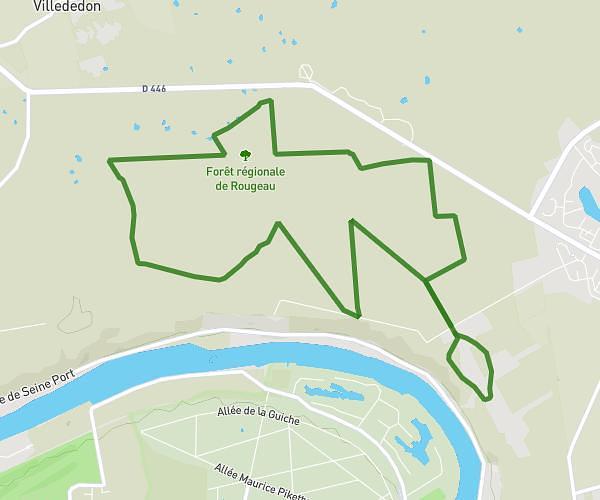
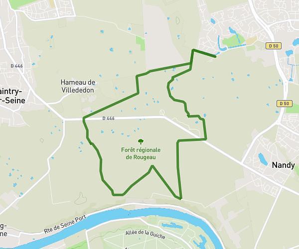
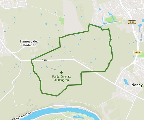
Explore this hiking route of 1,841mi starting from Lisses, Essonne. The hike is a loop and returns to the starting point. This hike has no defined difficulty level, plan for about 37m58s to complete it. The route has a positive elevation gain of 79ft and a negative elevation loss of 75ft.
lisses 1
Route details
Route profile
79ft
Elevation +
75ft
Elevation -
256ft
Min altitude
279ft
Max altitude
How to get there
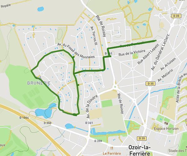
Route starting point: 5 Allée Du Bois Des Folies, 91090 Lisses, France
GPS coordinates of the starting point: 48.605932, 2.409904 / 48°36'21'' N, 2°24'35'' E