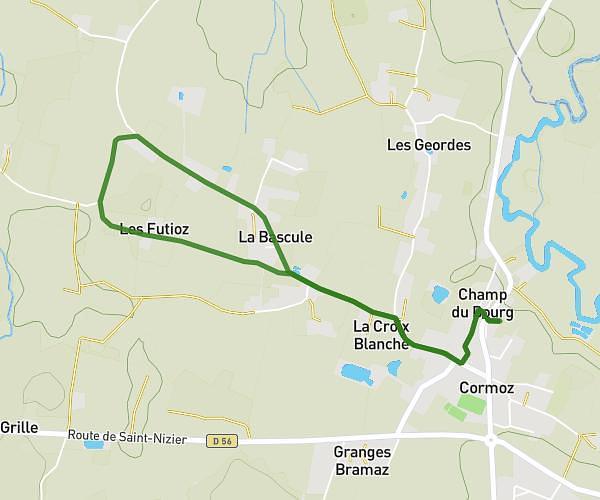
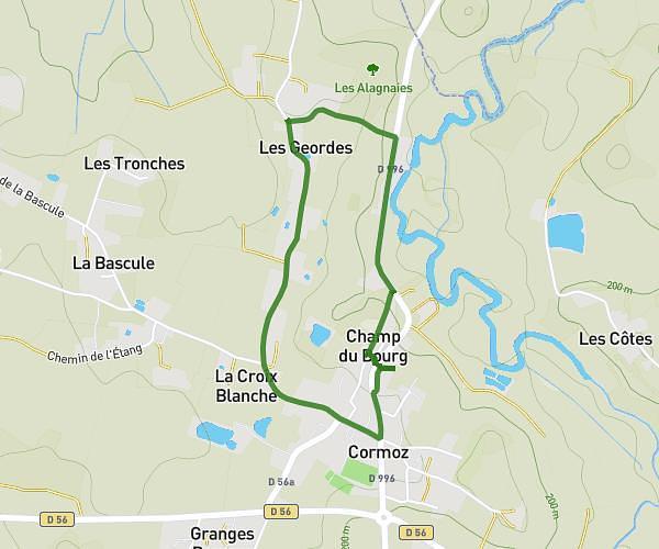
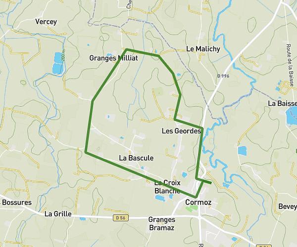
This walking route covers 3.703mi starting from Cormoz, Ain. The walk is a loop trail and returns to the trailhead. This walk is rated as moderate, plan for about 1h19m to complete it. The route has an elevation gain of 262ft and an elevation loss of 253ft.
Mercredi 1er janvier
Route details
21:19/mi
Pace
323 kcal
Calories burned
Loop trail
Route type
636ft
Min altitude
719ft
Max altitude
Route profile
262ft
Elevation gain
253ft
Elevation loss
636ft
Min altitude
719ft
Max altitude
How to get there
Trailhead: 230 Route De Varennes, 01560 Cormoz, France
GPS coordinates of the trailhead: 46.45081, 5.23317 / 46°27'2'' N, 5°13'59'' E