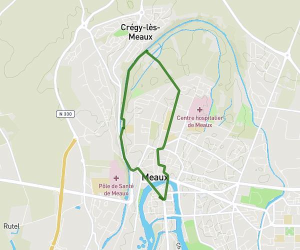
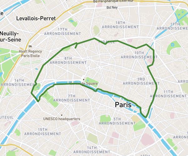
This running route covers 9.418mi starting from Ozoir-la-Ferrière, Seine-et-Marne. The run does not return to the trailhead and ends near 1 Chemin Du Bois D'attilly, 77150 Férolles-Attilly, France. This run is rated as hard, expect about 1h30m to complete it. The route has an elevation gain of 325ft and an elevation loss of 331ft.
Course du soir
Route details
6.21mph
Speed
1040 kcal
Calories burned
Point to point
Route type
285ft
Min altitude
364ft
Max altitude
Route profile
325ft
Elevation gain
331ft
Elevation loss
285ft
Min altitude
364ft
Max altitude
How to get there
Trailhead: 17 Rue Du Lavoir, 77330 Ozoir-la-Ferrière, France
GPS coordinates of the trailhead: 48.763026, 2.670102 / 48°45'46'' N, 2°40'12'' E