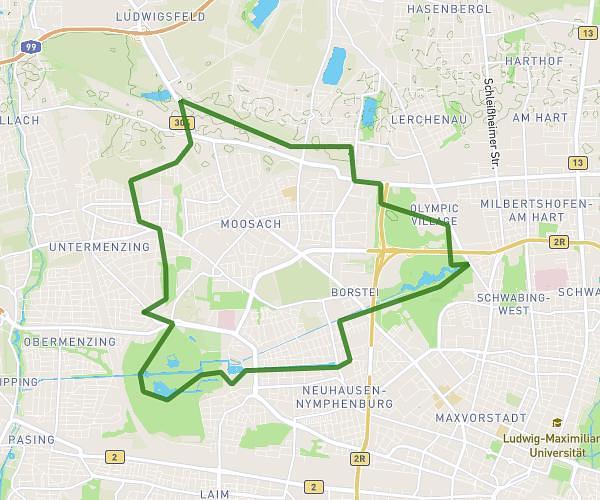
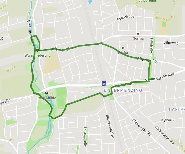
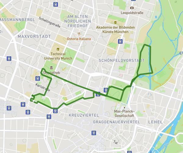
This running route covers 9.694mi starting from München, Bavaria. The run does not return to the trailhead and ends near Königinstraße 4, 80539 München, Germany. This run is rated as hard, expect about 2h10m to complete it. The route has an elevation gain of 377ft and an elevation loss of 400ft.
TestEG15Km
Route details
4.47mph
Speed
1486 kcal
Calories burned
Point to point
Route type
1644ft
Min altitude
1716ft
Max altitude
Route profile
377ft
Elevation gain
400ft
Elevation loss
1644ft
Min altitude
1716ft
Max altitude
How to get there
Trailhead: Odeonsplatz 18, 80539 München, Germany
GPS coordinates of the trailhead: 48.142807, 11.578263 / 48°8'34'' N, 11°34'41'' E