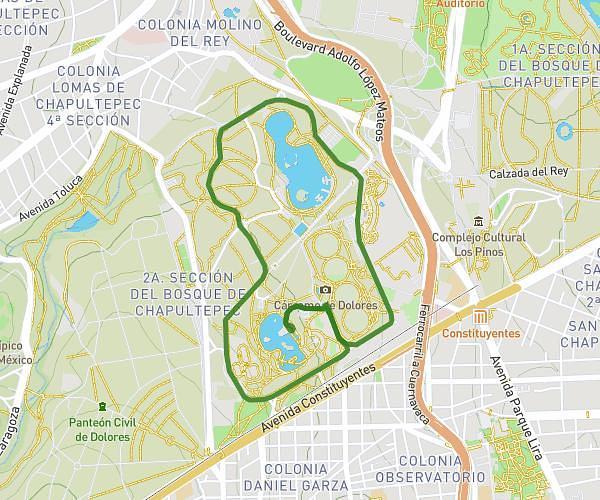
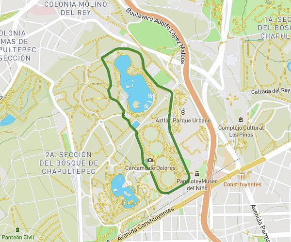
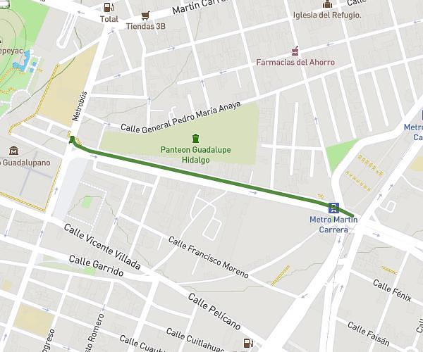
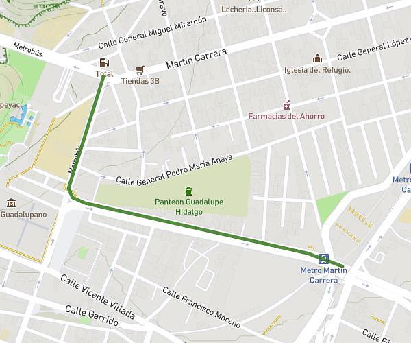
Explore this walking route of 0,511mi starting from Mexico City, Estado de México. The walk does not return to the starting point and ends near Calzada San Juan De Aragón 174, 07058 Mexico City, Mexico. This walk has no defined difficulty level, plan for about 11m to complete it.
1.1.5
Route details
How to get there
Route starting point: Avenida General Martín Carrera 133, 07070 Mexico City, Mexico
GPS coordinates of the starting point: 19.48865, -99.10695 / 19°29'19'' N, 99°6'25'' W


