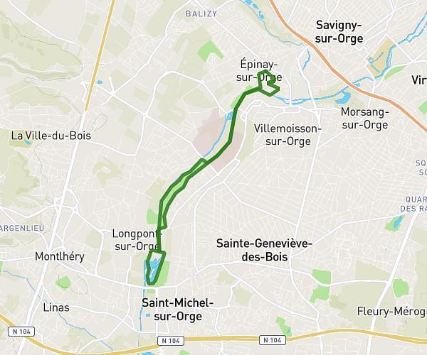
This walking route covers 1.369mi starting from Le Mée-sur-Seine, Seine-et-Marne. The walk does not return to the trailhead and ends near 92 Rue Pierre Puget, 77350 Le Mée-sur-Seine, France. This walk is rated as easy, plan for about 33m2s to complete it. The route has an elevation gain of 79ft and an elevation loss of 72ft.
Marché de prière du Mee sur Seine 30 minutes
Route details
24:08/mi
Pace
135 kcal
Calories burned
Point to point
Route type
230ft
Min altitude
259ft
Max altitude
Route profile
79ft
Elevation gain
72ft
Elevation loss
230ft
Min altitude
259ft
Max altitude
How to get there
Trailhead: Rue André Fenez, 77350 Le Mée-sur-Seine, France
GPS coordinates of the trailhead: 48.539978, 2.631252 / 48°32'23'' N, 2°37'52'' E