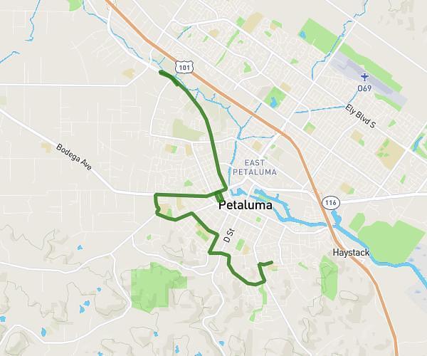
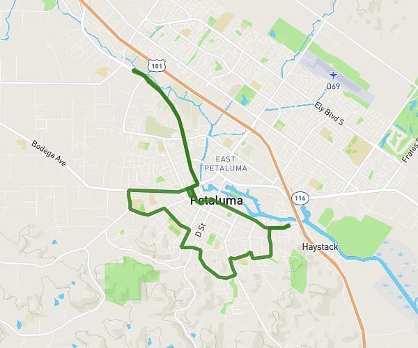
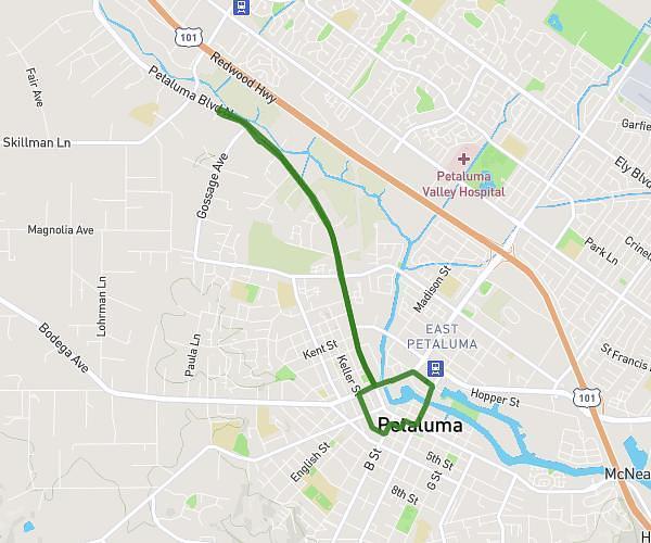
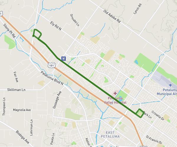
Explore this cycling route of 7,084mi starting from Petaluma, California. The ride is a loop and returns to the starting point. This route has no defined difficulty level, plan for about 43m to complete it. The route has a positive elevation gain of 20ft and a negative elevation loss of 16ft.
Route 24
Route details
Route profile
20ft
Elevation +
16ft
Elevation -
7ft
Min altitude
23ft
Max altitude
How to get there
Route starting point: 19 Copeland Street, Petaluma, California 94952, United States
GPS coordinates of the starting point: 38.23623, -122.63586 / 38°14'10'' N, 122°38'9'' W