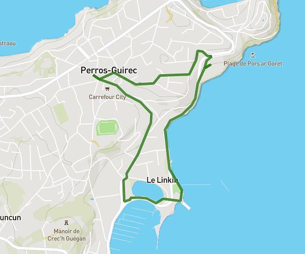
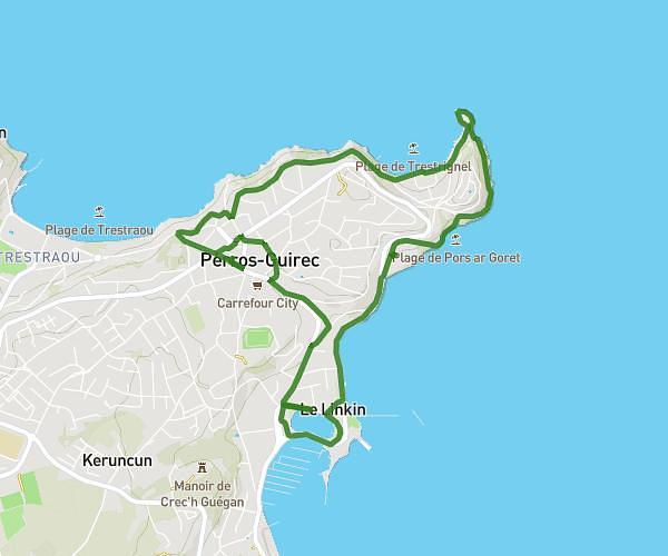
This walking route covers 1.921mi starting from Plouguiel, Côtes-d'Armor. The walk is a loop trail and returns to the trailhead. This walk is rated as easy, plan for about 41m to complete it. The route has an elevation gain of 190ft and an elevation loss of 190ft.
La baie de l'enfer
Route details
21:22/mi
Pace
167 kcal
Calories burned
Loop trail
Route type
0ft
Min altitude
151ft
Max altitude
Route profile
190ft
Elevation gain
190ft
Elevation loss
0ft
Min altitude
151ft
Max altitude
How to get there
Trailhead: 1 Moulin D'arrere, 22220 Plouguiel, France
GPS coordinates of the trailhead: 48.83317, -3.21926 / 48°49'59'' N, 3°13'9'' W