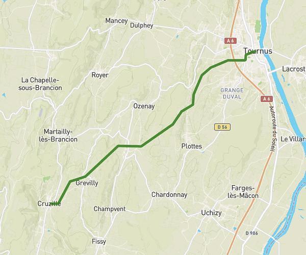
This walking route covers 2.59mi starting from Mâcon, Saône-et-Loire. The walk is a loop trail and returns to the trailhead. This walk is rated as easy, plan for about 55m57s to complete it. The route has an elevation gain of 154ft and an elevation loss of 151ft.
123
Route details
21:36/mi
Pace
228 kcal
Calories burned
Loop trail
Route type
633ft
Min altitude
712ft
Max altitude
Route profile
154ft
Elevation gain
151ft
Elevation loss
633ft
Min altitude
712ft
Max altitude
How to get there
Trailhead: 382 Rue Vrémontoise, 71000 Mâcon, France
GPS coordinates of the trailhead: 46.359349, 4.832576 / 46°21'33'' N, 4°49'57'' E