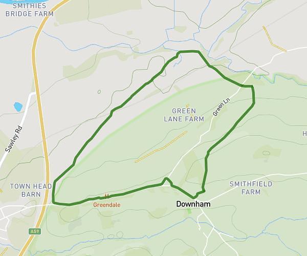
Explore this hiking route of 3.191mi starting from Clitheroe, England. The hike is a loop and returns to the starting point. This hike has no defined difficulty level, plan for about 1h1m to complete it. The route has a positive elevation gain of 210ft and a negative elevation loss of 210ft.
Up brooks
Route details
Route profile
210ft
Elevation +
210ft
Elevation -
259ft
Min altitude
338ft
Max altitude
How to get there
Route starting point: Hayhurst Street, BB7 1NB Clitheroe
GPS coordinates of the starting point: 53.86946, -2.38698 / 53°52'10'' N, 2°23'13'' W