MapPlanner
14.705mi
Distance
2h38m
Duration
10:44/mi
Pace
Strenuous
Level

23k

Route details

5.59mph
Speed
1806 kcal
Calories burned
Loop trail
Route type
105ft
Min altitude
151ft
Max altitude

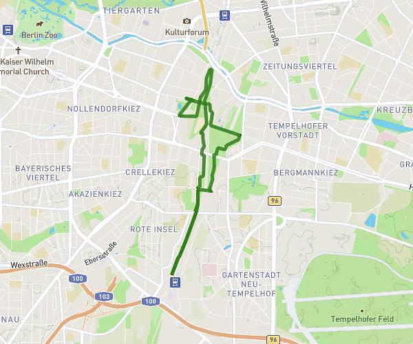
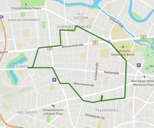
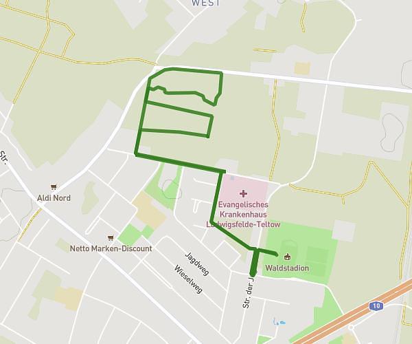
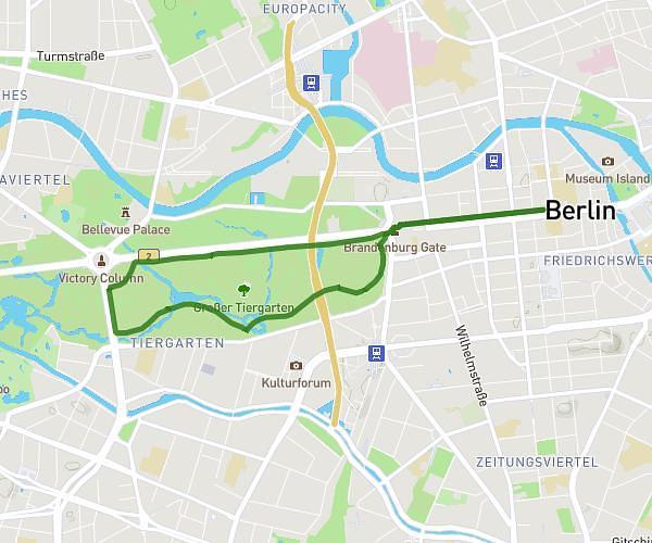
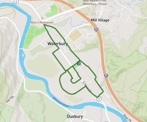
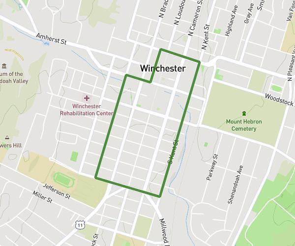
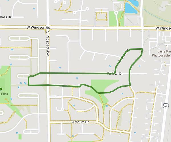
This running route covers 14.705mi starting from . The run is a loop trail and returns to the trailhead. This run is rated as strenuous, expect about 2h38m to complete it. The route has an elevation gain of 46ft and an elevation loss of 43ft.

Route profile

46ft
Elevation gain
43ft
Elevation loss
105ft
Min altitude
151ft
Max altitude

How to get there

Trailhead:

GPS coordinates of the trailhead: 52.539925, 13.358768 / 52°32'23'' N, 13°21'31'' E

Caution: May Cross Private Property

This route may pass through or near private property. Always respect posted signs, obtain permission where required, and follow local trespassing laws. MapPlanner does not guarantee public access along any route.

Safety Notice

Trail and road conditions may change without notice due to weather, construction, or other factors. Always verify current conditions before heading out. You are responsible for your own safety — follow local signage, obey traffic laws, and use your best judgment on the trail.