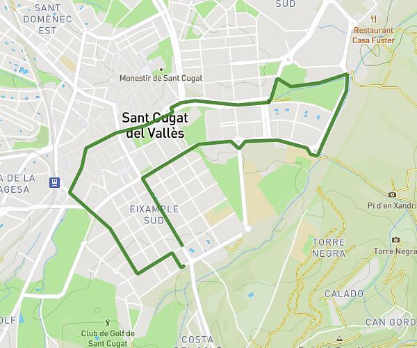
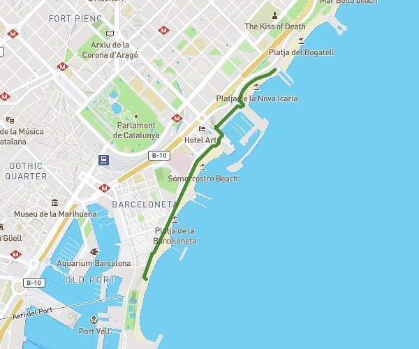
This running route covers 2.724mi starting from Barcelona, Barcelona. The run is a loop trail and returns to the trailhead. This run is rated as easy, expect about 28m48s to complete it. The route has an elevation gain of 502ft and an elevation loss of 502ft.
Ruta montju 1
Route details
5.67mph
Speed
329 kcal
Calories burned
Loop trail
Route type
108ft
Min altitude
377ft
Max altitude
Route profile
502ft
Elevation gain
502ft
Elevation loss
108ft
Min altitude
377ft
Max altitude
How to get there
Trailhead: Carrer De Les Pedreres 35, 08004 Barcelona, Barcelona, Spain
GPS coordinates of the trailhead: 41.37323, 2.15947 / 41°22'23'' N, 2°9'34'' E