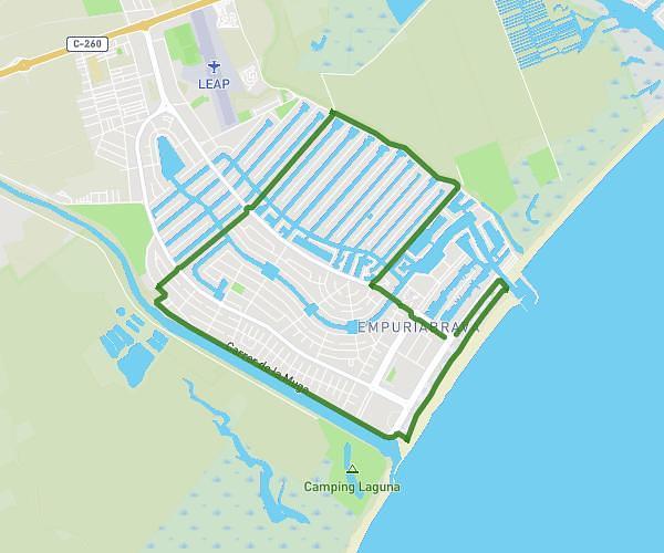
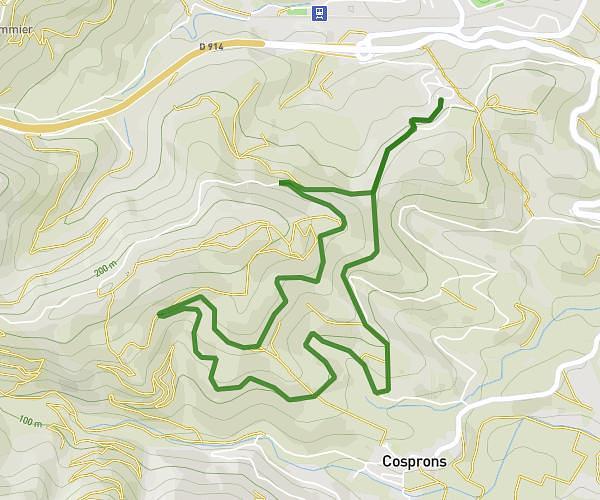
This running route covers 5.337mi starting from Castelló d'Empúries, Girona. The run is a loop trail and returns to the trailhead. This run is rated as moderate, expect about 57m to complete it. The route has an elevation gain of 10ft and an elevation loss of 13ft.
Empuriabrava avec forêt
Route details
5.62mph
Speed
652 kcal
Calories burned
Loop trail
Route type
3ft
Min altitude
13ft
Max altitude
Route profile
10ft
Elevation gain
13ft
Elevation loss
3ft
Min altitude
13ft
Max altitude
How to get there
Trailhead: Avinguda D'europa, 17487 Castelló d'Empúries, Girona, Spain
GPS coordinates of the trailhead: 42.24386, 3.12884 / 42°14'37'' N, 3°7'43'' E