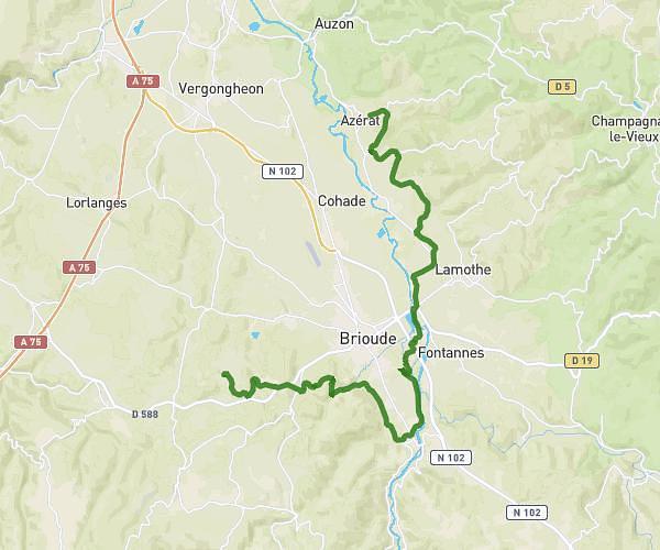
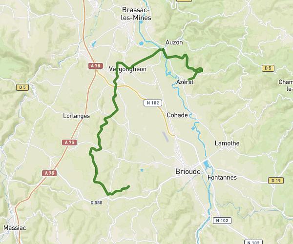
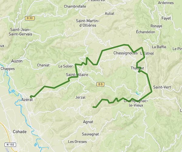
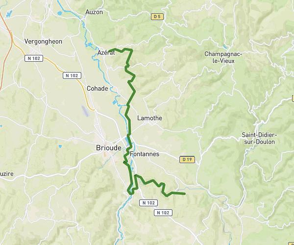
This cycling route covers 18.417mi starting from Azérat, Haute-Loire. The ride does not return to the trailhead and ends near 43380, Saint-Privat-du-Dragon, Haute-Loire, France. This route is rated as moderate, plan for about 1h51m to complete it. The route has an elevation gain of 945ft and an elevation loss of 285ft.
Azerat-cerzat du dragon
Route details
984 kcal
Calories burned
1.3%
Avg grade
Point to point
Route type
1375ft
Min altitude
2254ft
Max altitude
Route profile
945ft
Elevation gain
285ft
Elevation loss
1375ft
Min altitude
2254ft
Max altitude
How to get there
Trailhead: D 163, 43390 Azérat, France
GPS coordinates of the trailhead: 45.36341, 3.38627 / 45°21'48'' N, 3°23'10'' E