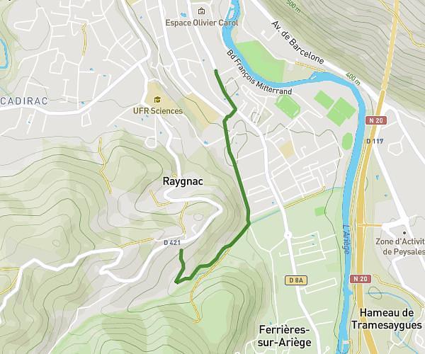
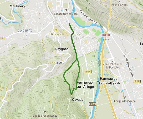
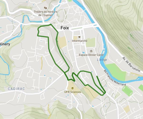
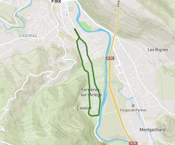
This running route covers 13.187mi starting from Montferrier, Ariège. The run is a loop trail and returns to the trailhead. This run is rated as hard, expect about 6h to complete it. The route has an elevation gain of 5807ft and an elevation loss of 5810ft.
Description of the route by the creator
To be done on a clear day Trail time: approx. 5 to 6 hours 1800m elevation gain Full day to hike this circuit Numerous water spots (lakes and streams on the 2nd part of the route from the Appy pond)