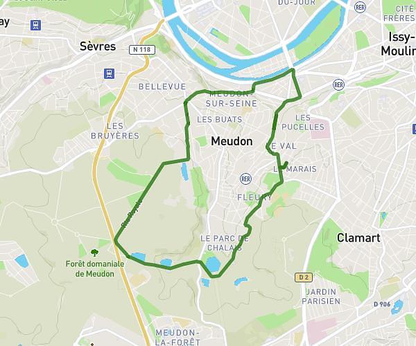
This running route covers 5.22mi starting from Villabé, Essonne. The run does not return to the trailhead and ends near 65 Rue Jean Jaurès, 91100 Villabé, France. This run is rated as moderate, expect about 56m to complete it. The route has an elevation gain of 791ft and an elevation loss of 669ft.
Côte moulin galant villabé
Route details
5.59mph
Speed
640 kcal
Calories burned
Point to point
Route type
138ft
Min altitude
266ft
Max altitude
Route profile
791ft
Elevation gain
669ft
Elevation loss
138ft
Min altitude
266ft
Max altitude
How to get there
Trailhead: 35 Côte De Moulin Galant, 91100 Villabé, France
GPS coordinates of the trailhead: 48.585993, 2.467696 / 48°35'9'' N, 2°28'3'' E