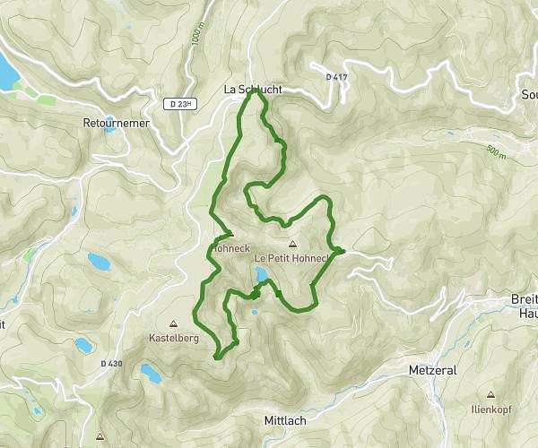
This walking route covers 2.424mi starting from Soultzeren, Haut-Rhin. The walk is a loop trail and returns to the trailhead. This walk is rated as easy, plan for about 1h15m to complete it. The route has an elevation gain of 673ft and an elevation loss of 673ft.
Soultzersmatt
Route details
30:57/mi
Pace
306 kcal
Calories burned
Loop trail
Route type
2579ft
Min altitude
3173ft
Max altitude
Route profile
673ft
Elevation gain
673ft
Elevation loss
2579ft
Min altitude
3173ft
Max altitude
How to get there
Trailhead: 39 Chemin Du Mageisberg, 68140 Soultzeren, France
GPS coordinates of the trailhead: 48.06785, 7.08814 / 48°4'4'' N, 7°5'17'' E