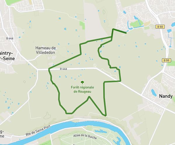
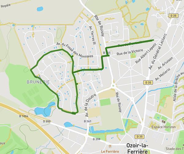
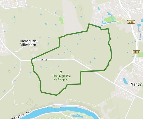
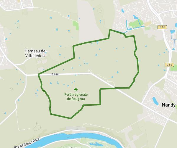
Explore this hiking route of 18,567mi starting from Joinville-le-Pont, Val-de-Marne. The hike does not return to the starting point and ends near 2 Rue De La Prairie, 94360 Bry-sur-Marne, France. This hike is rated as very easy, plan for about 3h to complete it. The route has a positive elevation gain of 253ft and a negative elevation loss of 315ft.
Description of the route by the creator
To rollerblade on a holiday Friday! Very nice, smooth road and without obstacles


