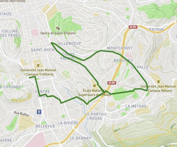
This running route covers 3.258mi starting from Sainte-Sigolène, Haute-Loire. The run is a loop trail and returns to the trailhead. This run is rated as easy, expect about 40m to complete it. The route has an elevation gain of 371ft and an elevation loss of 371ft.
Reprise tour des ruches
Route details
4.89mph
Speed
457 kcal
Calories burned
Loop trail
Route type
2425ft
Min altitude
2644ft
Max altitude
Route profile
371ft
Elevation gain
371ft
Elevation loss
2425ft
Min altitude
2644ft
Max altitude
How to get there
Trailhead: 34 Route Du Pinet, 43600 Sainte-Sigolène, France
GPS coordinates of the trailhead: 45.22795, 4.23754 / 45°13'40'' N, 4°14'15'' E