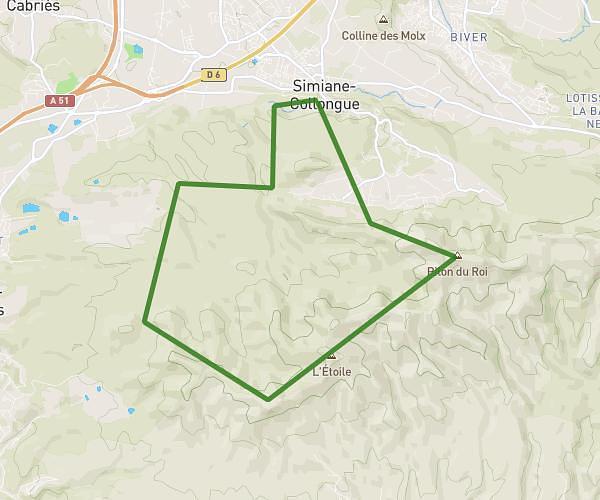
This running route covers 5.012mi starting from Ventabren, Bouches-du-Rhône. The run is a loop trail and returns to the trailhead. This run is rated as moderate, expect about 1h29s to complete it. The route has an elevation gain of 308ft and an elevation loss of 315ft.
venta coudoux
Route details
4.97mph
Speed
692 kcal
Calories burned
Loop trail
Route type
194ft
Min altitude
459ft
Max altitude
Route profile
308ft
Elevation gain
315ft
Elevation loss
194ft
Min altitude
459ft
Max altitude
How to get there
Trailhead: 174 Avenue Du Mas Des Platanes, 13122 Ventabren, France
GPS coordinates of the trailhead: 43.54864, 5.293834 / 43°32'55'' N, 5°17'37'' E