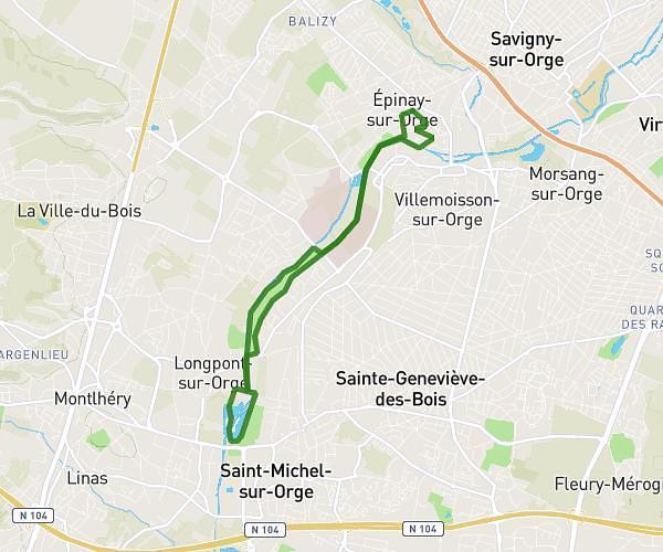
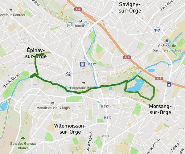
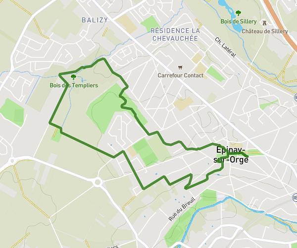
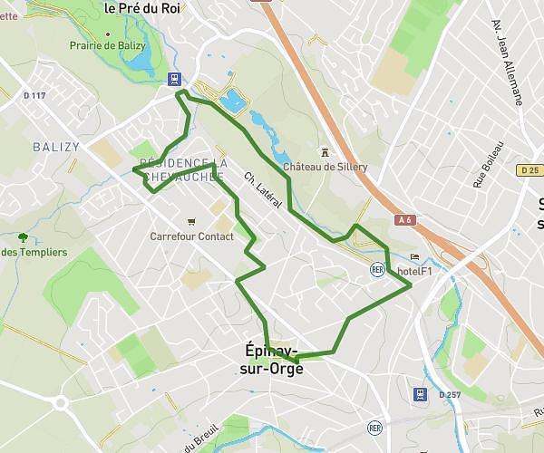
This walking route covers 3.111mi starting from Courbevoie, Hauts-de-Seine. The walk does not return to the trailhead and ends near 15 Rue De L'abreuvoir, 92400 Courbevoie, France. This walk is rated as moderate, plan for about 1h7m to complete it. The route has an elevation gain of 233ft and an elevation loss of 226ft.
Courbevoie centre
Route details
21:33/mi
Pace
274 kcal
Calories burned
Point to point
Route type
105ft
Min altitude
180ft
Max altitude
Route profile
233ft
Elevation gain
226ft
Elevation loss
105ft
Min altitude
180ft
Max altitude
How to get there
Trailhead: 33 Rue Victor Hugo, 92400 Courbevoie, France
GPS coordinates of the trailhead: 48.893537, 2.256363 / 48°53'36'' N, 2°15'22'' E