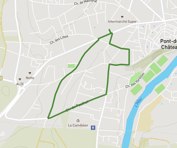
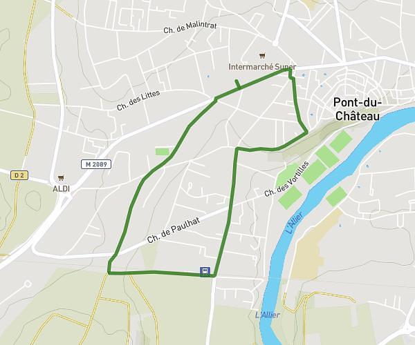
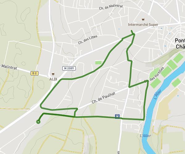
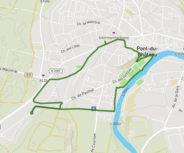
This running route covers 0.98mi starting from Cournon-d'Auvergne, Puy-de-Dôme. The run is a loop trail and returns to the trailhead. This run is rated as easy, expect about 11m to complete it. The route has an elevation gain of 43ft and an elevation loss of 49ft.
Plan d'eau
Route details
5.34mph
Speed
126 kcal
Calories burned
Loop trail
Route type
1037ft
Min altitude
1053ft
Max altitude
Route profile
43ft
Elevation gain
49ft
Elevation loss
1037ft
Min altitude
1053ft
Max altitude
How to get there
Trailhead: Allée Pierre De Coubertin, 63800 Cournon-d'Auvergne, France
GPS coordinates of the trailhead: 45.740418, 3.217714 / 45°44'25'' N, 3°13'3'' E