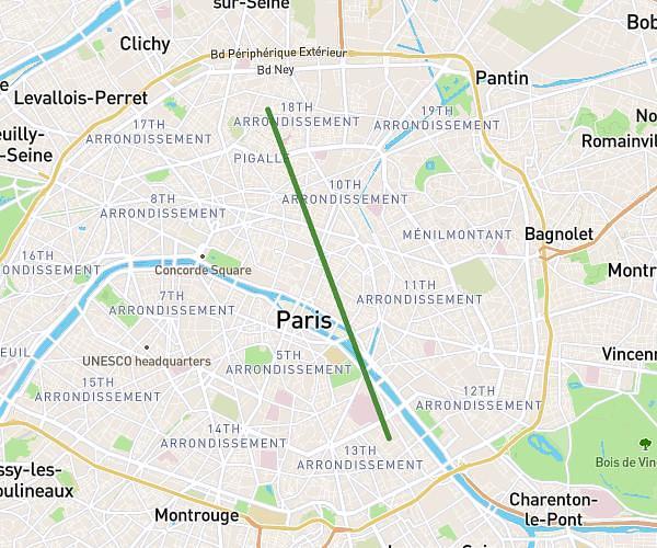
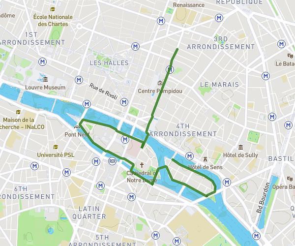
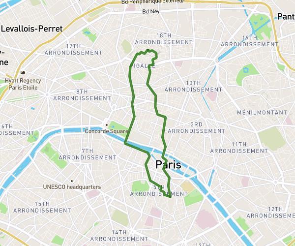
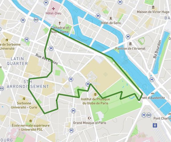
This running route covers 4.862mi starting from Paray-Vieille-Poste, Essonne. The run is a loop trail and returns to the trailhead. This run is rated as easy, expect about 42m40s to complete it. The route has an elevation gain of 121ft and an elevation loss of 125ft.
course du 20/ 04
Route details
6.84mph
Speed
488 kcal
Calories burned
Loop trail
Route type
266ft
Min altitude
305ft
Max altitude
Route profile
121ft
Elevation gain
125ft
Elevation loss
266ft
Min altitude
305ft
Max altitude
How to get there
Trailhead: 30 Avenue Jean Jaurès, 91550 Paray-Vieille-Poste, France
GPS coordinates of the trailhead: 48.70774, 2.36545 / 48°42'27'' N, 2°21'55'' E