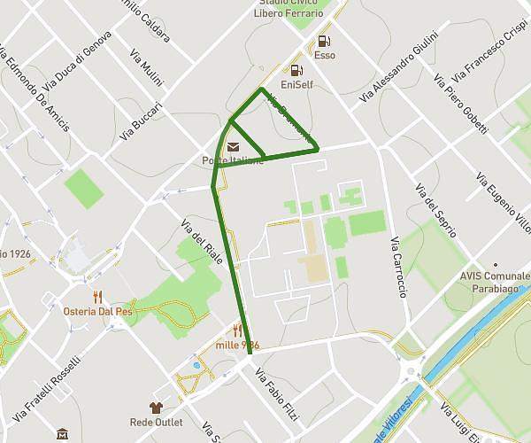
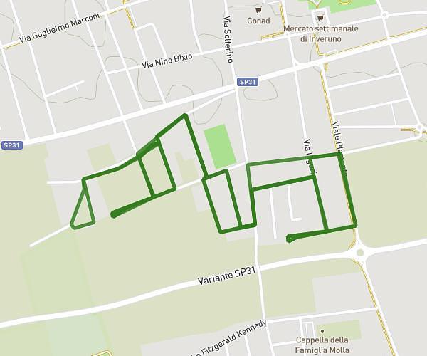
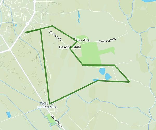
This running route covers 3.598mi starting from Vigevano, Pavia. The run is a loop trail and returns to the trailhead. This run is rated as easy, expect about 39m to complete it. The route has an elevation gain of 7ft and an elevation loss of 7ft.
5.7
Route details
5.54mph
Speed
446 kcal
Calories burned
Loop trail
Route type
315ft
Min altitude
318ft
Max altitude
Route profile
7ft
Elevation gain
7ft
Elevation loss
315ft
Min altitude
318ft
Max altitude
How to get there
Trailhead: Viale Industria 67, 27029 Vigevano Pavia, Italy
GPS coordinates of the trailhead: 45.307994, 8.877898 / 45°18'28'' N, 8°52'40'' E