MapPlanner
11.735mi
Distance
1h54m
Duration
6.16mph
Speed
+325ft
Elevation gain
-299ft
Elevation loss
Easy
Level

Sunflower Trail Loop

Route details

1007 kcal
Calories burned
1.0%
Avg grade
Loop trail
Route type
66ft
Min altitude
108ft
Max altitude

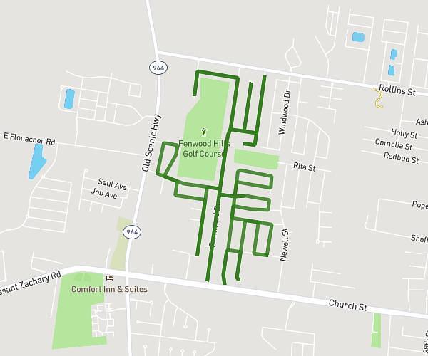
This cycling route covers 11.735mi starting from Shreveport, Louisiana. The ride is a loop trail and returns to the trailhead. This route is rated as easy, plan for about 1h54m to complete it. The route has an elevation gain of 325ft and an elevation loss of 299ft.

Description of the route by the creator

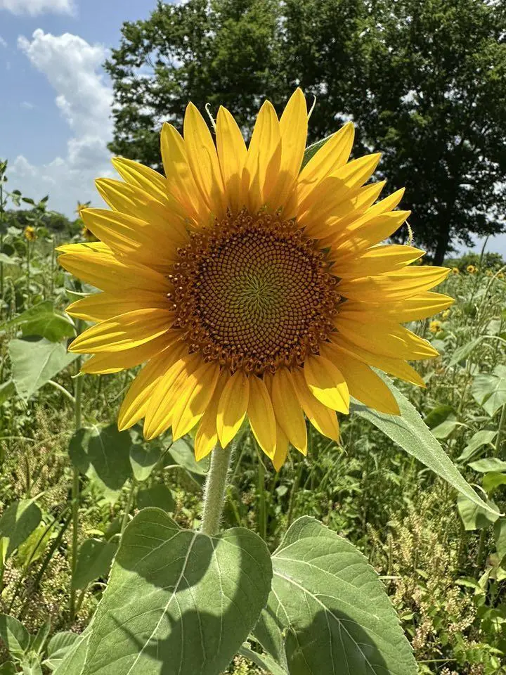
Sunflower Trail from Old Dixie Gin and Sentell Road riding the loop around the levee. Optional Dixie Maze Farm Stop. Sentell Road circles back to Highway 3049 at Cornerstone Baptist Church, and returns south to Old Dixie Gin. Annual festival: facebook.com/sunflowerfestivaltrail redrivercrossroadshistorical.org/sunflowertrail

Route profile

325ft
Elevation gain
299ft
Elevation loss
66ft
Min altitude
108ft
Max altitude

How to get there

Trailhead: 25953 None, Shreveport, Louisiana 71107, United States

GPS coordinates of the trailhead: 32.64868, -93.79808 / 32°38'55'' N, 93°47'53'' W

Caution: May Cross Private Property

This route may pass through or near private property. Always respect posted signs, obtain permission where required, and follow local trespassing laws. MapPlanner does not guarantee public access along any route.

Safety Notice

Trail and road conditions may change without notice due to weather, construction, or other factors. Always verify current conditions before heading out. You are responsible for your own safety — follow local signage, obey traffic laws, and use your best judgment on the trail.