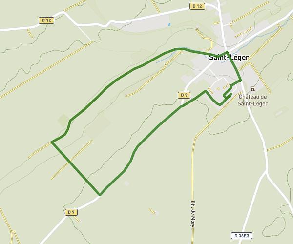
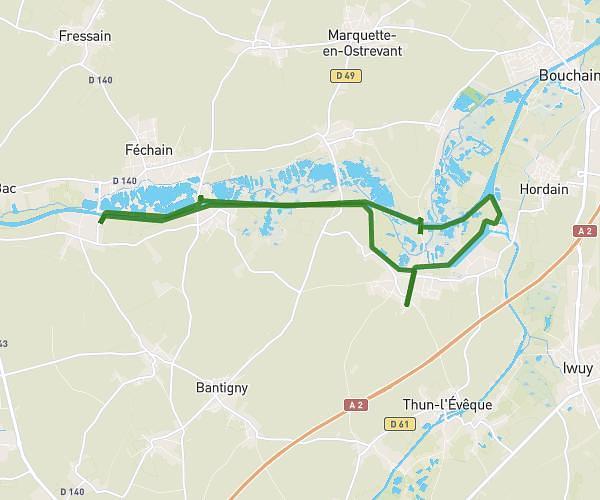
This running route covers 16.401mi starting from Aubigny-au-Bac, Nord. The run is a loop trail and returns to the trailhead. This run is rated as strenuous, expect about 2h55m to complete it. The route has an elevation gain of 774ft and an elevation loss of 774ft.
La sortie longue
Route details
5.59mph
Speed
2012 kcal
Calories burned
Loop trail
Route type
102ft
Min altitude
151ft
Max altitude
Route profile
774ft
Elevation gain
774ft
Elevation loss
102ft
Min altitude
151ft
Max altitude
How to get there
Trailhead: 2 Rue Jean-Simon Dumont, 59265 Aubigny-au-Bac, France
GPS coordinates of the trailhead: 50.262384, 3.162833 / 50°15'44'' N, 3°9'46'' E