This running route covers 13.617mi starting from Trittau, Schleswig-Holstein. The run is a loop trail and returns to the trailhead. This run is rated as strenuous, expect about 2h26m to complete it. The route has an elevation gain of 860ft and an elevation loss of 860ft.
Vorbereitung
Route details
5.59mph
Speed
1670 kcal
Calories burned
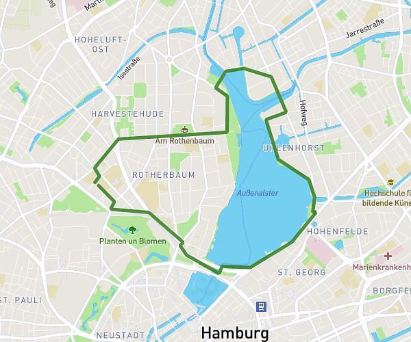
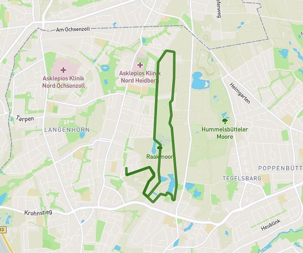
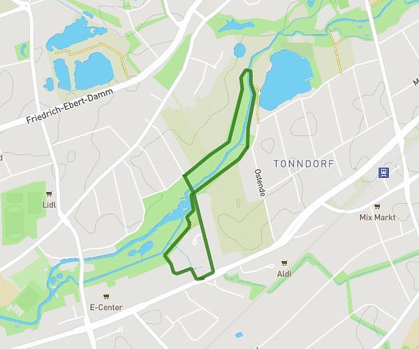
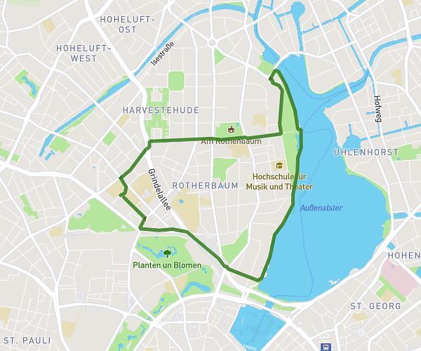
Loop trail
Route type
85ft
Min altitude
348ft
Max altitude
Route profile
860ft
Elevation gain
860ft
Elevation loss
85ft
Min altitude
348ft
Max altitude
How to get there
Trailhead: Poststraße 32c, 22946 Trittau, Germany
GPS coordinates of the trailhead: 53.607288, 10.412658 / 53°36'26'' N, 10°24'45'' E