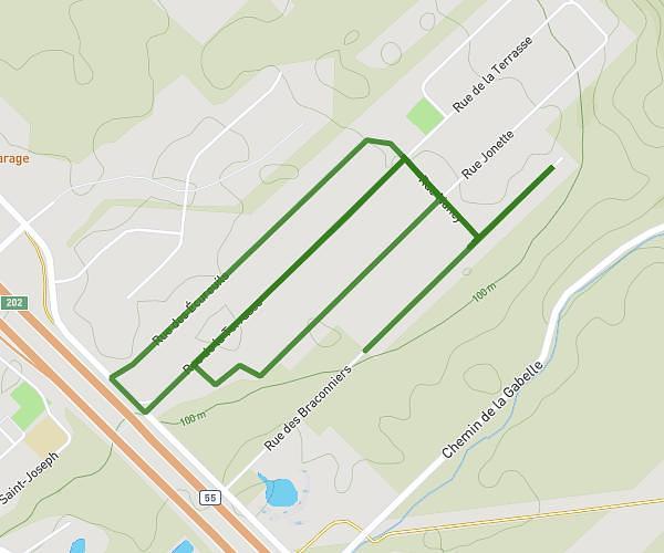
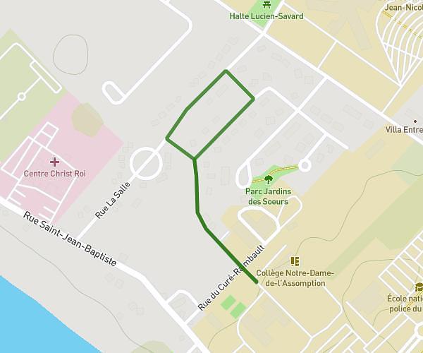
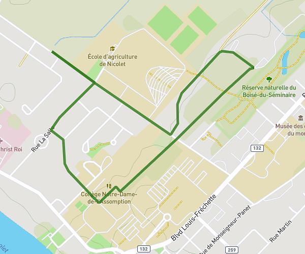
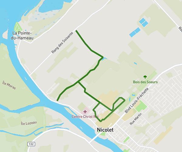
This running route covers 25.679mi starting from Notre-Dame-du-Mont-Carmel, Quebec. The run does not return to the trailhead and ends near 2 Chemin Riverside, Shawinigan, Quebec G9T 5K4, Canada. This run is rated as strenuous, expect about 4h8m to complete it. The route has an elevation gain of 207ft and an elevation loss of 269ft.
Parcours Mont-Carmel
Route details
6.21mph
Speed
2835 kcal
Calories burned
Point to point
Route type
262ft
Min altitude
479ft
Max altitude
Route profile
207ft
Elevation gain
269ft
Elevation loss
262ft
Min altitude
479ft
Max altitude
How to get there
Trailhead: 3991 Rue Monseigneur-Béliveau, Notre-Dame-du-Mont-Carmel, Quebec G0X 3J0, Canada
GPS coordinates of the trailhead: 46.48947, -72.65701 / 46°29'22'' N, 72°39'25'' W