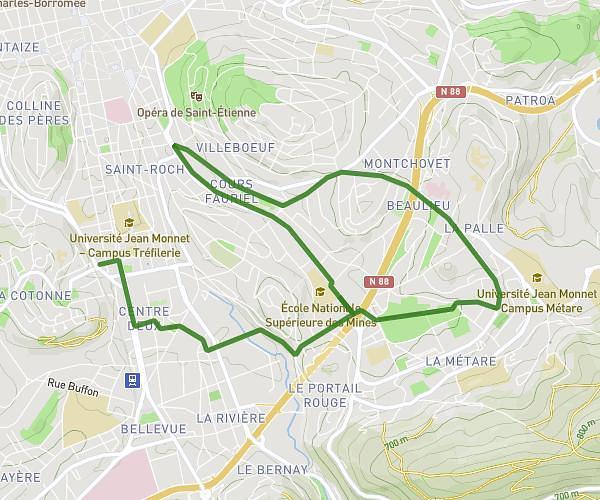
This running route covers 7.825mi starting from Saint-Didier-en-Velay, Haute-Loire. The run does not return to the trailhead and ends near Faubourg De La Péchoire, 43140 Saint-Didier-en-Velay. This run is rated as hard, expect about 42m to complete it. The route has an elevation gain of 948ft and an elevation loss of 1043ft.
12 km
Route details
11.18mph
Speed
480 kcal
Calories burned
Point to point
Route type
2608ft
Min altitude
3041ft
Max altitude
Route profile
948ft
Elevation gain
1043ft
Elevation loss
2608ft
Min altitude
3041ft
Max altitude
How to get there
Trailhead: Place De La Halle, 43140 Saint-Didier-en-Velay
GPS coordinates of the trailhead: 45.30302, 4.27624 / 45°18'10'' N, 4°16'34'' E