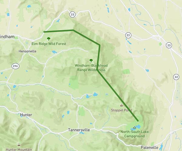
This hiking trail covers 6.153mi starting from Southfields, New York. The hike is a loop trail and returns to the trailhead. This hike is rated as moderate, plan for about 4h to complete it. The route has an elevation gain of 1181ft and an elevation loss of 1178ft.
Arden-Surebridge/White Bar Trail/Ard-SurbrdgTrail/Appalachian Trail
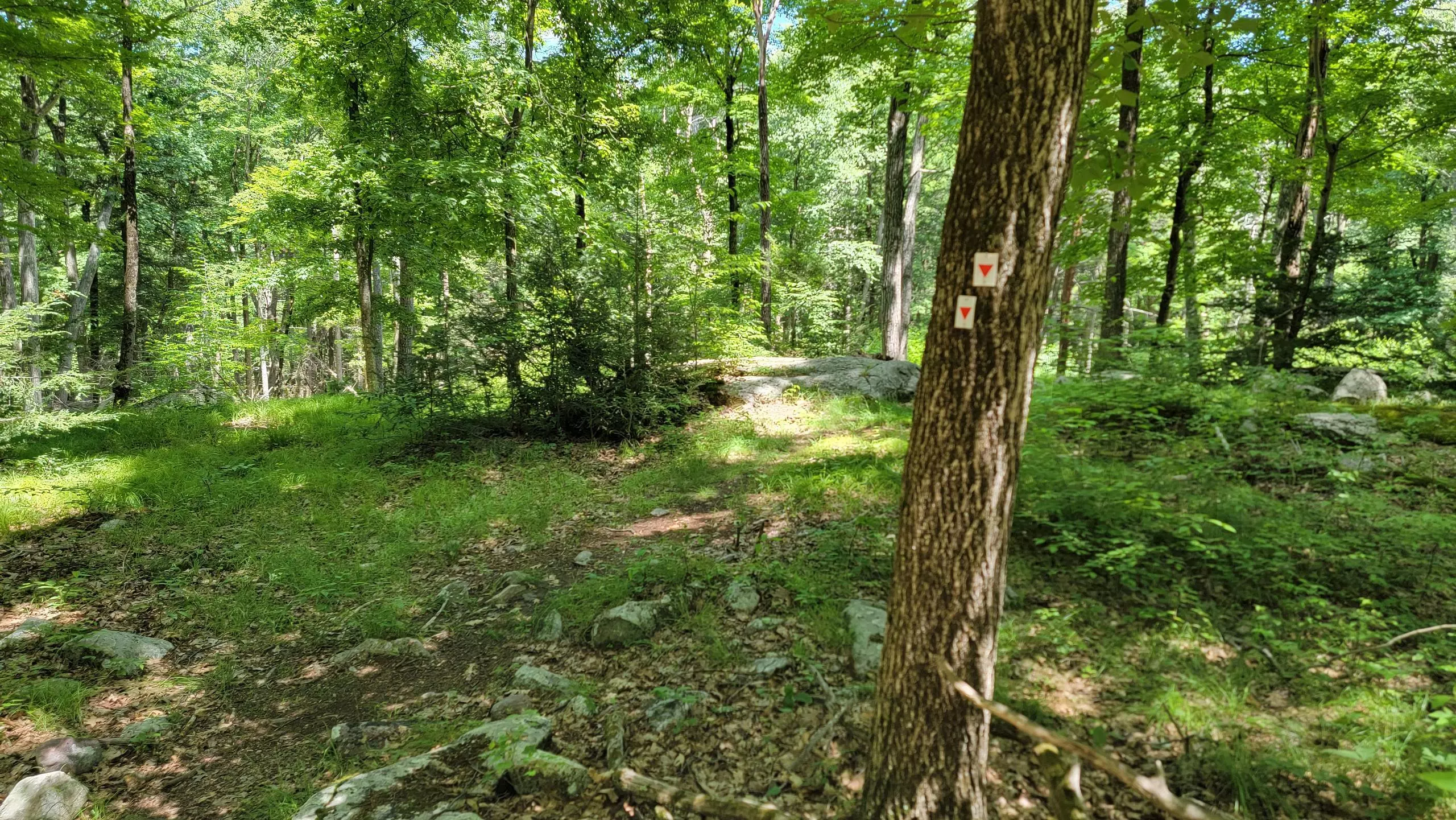
Arden-Surebridge Trail marker
Arden-Surebridge Trail
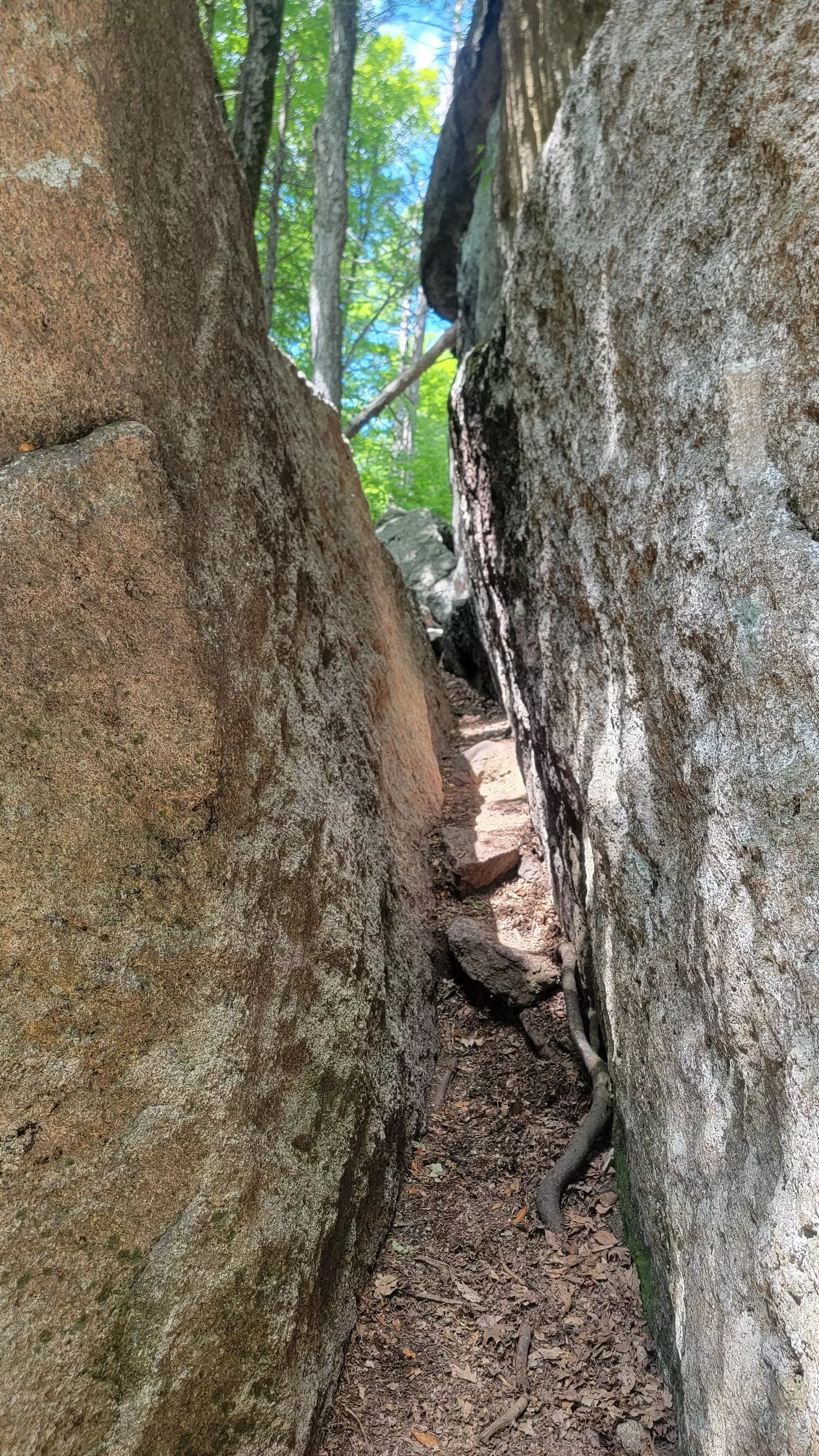
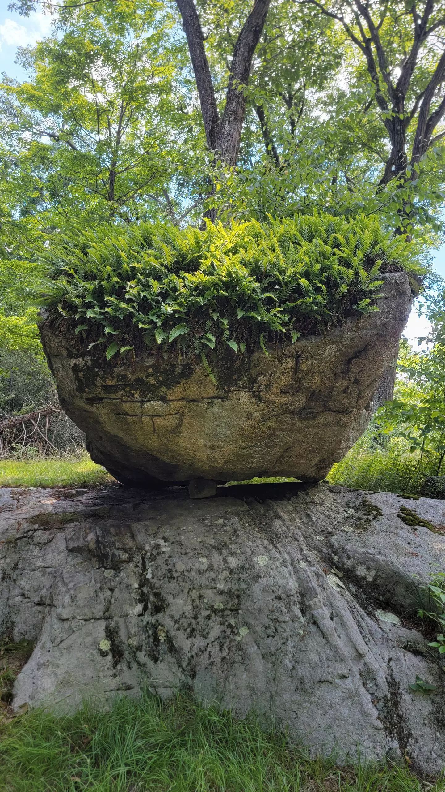
Lemon Squeezer
Route details
1.54mph
Speed
1782 kcal
Calories burned
7.3%
Avg grade
Loop trail
Route type
571ft
Min altitude
1224ft
Max altitude
Route profile
1181ft
Elevation gain
1178ft
Elevation loss
571ft
Min altitude
1224ft
Max altitude
How to get there
Trailhead: New York Highway 17, 10975 Southfields
GPS coordinates of the trailhead: 41.26664, -74.15945 / 41°15'59'' N, 74°9'34'' W