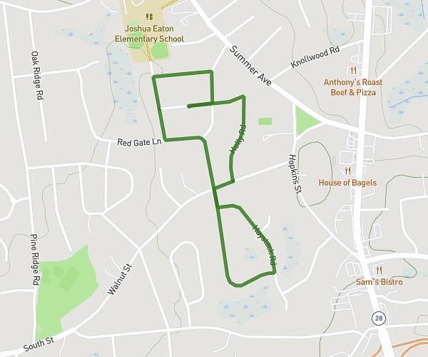
This walking route covers 1.677mi starting from Watertown, Massachusetts. The walk is a loop trail and returns to the trailhead. This walk is rated as easy, plan for about 10m to complete it. The route has an elevation gain of 131ft and an elevation loss of 131ft.
Wateway
Route details
5:58/mi
Pace
41 kcal
Calories burned
Loop trail
Route type
10ft
Min altitude
43ft
Max altitude
Route profile
131ft
Elevation gain
131ft
Elevation loss
10ft
Min altitude
43ft
Max altitude
How to get there
Trailhead: Greenough Boulevard, Watertown, Massachusetts 02138, United States
GPS coordinates of the trailhead: 42.36134, -71.15258 / 42°21'40'' N, 71°9'9'' W