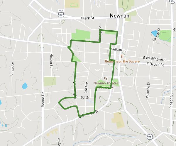
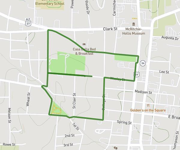
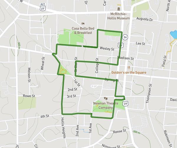
This walking route covers 1.823mi starting from Newnan, Georgia. The walk is a loop trail and returns to the trailhead. This walk is rated as easy, plan for about 36m26s to complete it. The route has an elevation gain of 105ft and an elevation loss of 105ft.
2/11/24 Ruby
Route details
20:00/mi
Pace
149 kcal
Calories burned
Loop trail
Route type
955ft
Min altitude
1024ft
Max altitude
Route profile
105ft
Elevation gain
105ft
Elevation loss
955ft
Min altitude
1024ft
Max altitude
How to get there
Trailhead: Wesley Street, 30263 Newnan
GPS coordinates of the trailhead: 33.37703, -84.80457 / 33°22'37'' N, 84°48'16'' W