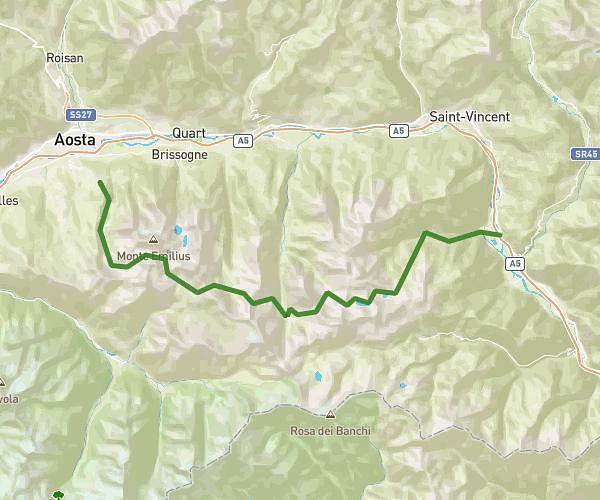
This running route covers 11.917mi starting from Champdepraz, Aosta Valley. The run is a loop trail and returns to the trailhead. This run is rated as strenuous, expect about 6h55m to complete it. The route has an elevation gain of 4452ft and an elevation loss of 4882ft.
Mont avic
Route details
1.72mph
Speed
4745 kcal
Calories burned
Loop trail
Route type
3678ft
Min altitude
8560ft
Max altitude
High altitude
Route profile
4452ft
Elevation gain
4882ft
Elevation loss
3678ft
Min altitude
8560ft
Max altitude
How to get there
Trailhead: Strada Comunale Di Chevrère, 11020 Champdepraz Aosta Valley, Italy
GPS coordinates of the trailhead: 45.68355, 7.61102 / 45°41'0'' N, 7°36'39'' E