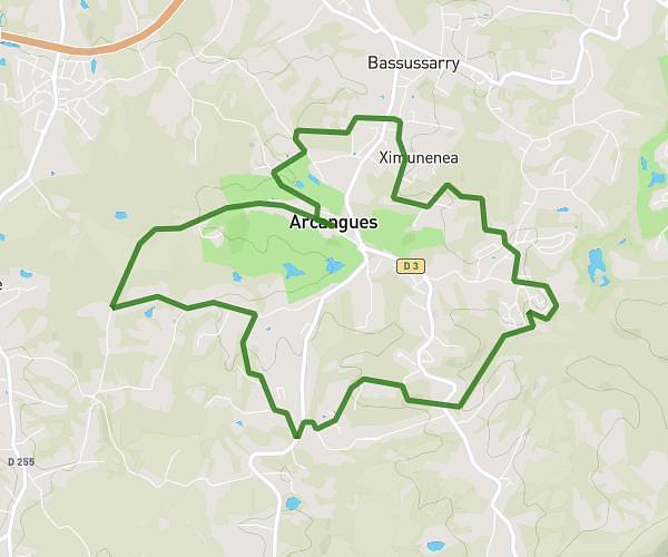
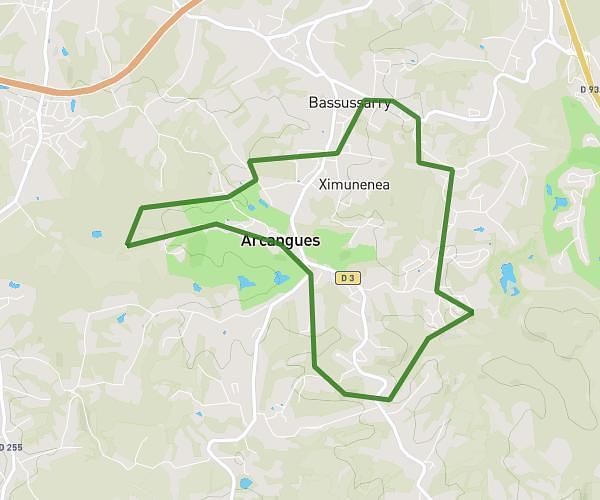
This running route covers 8.234mi starting from Arcangues, Pyrénées-Atlantiques. The run is a loop trail and returns to the trailhead. This run is rated as hard, expect about 1h29m to complete it. The route has an elevation gain of 1030ft and an elevation loss of 1037ft.
ARCANGUES BASSU
Route details
5.55mph
Speed
1018 kcal
Calories burned
Loop trail
Route type
59ft
Min altitude
266ft
Max altitude
Route profile
1030ft
Elevation gain
1037ft
Elevation loss
59ft
Min altitude
266ft
Max altitude
How to get there
Trailhead: 175 Herriko Bidea, 64200 Arcangues, France
GPS coordinates of the trailhead: 43.436425, -1.521581 / 43°26'11'' N, 1°31'17'' W