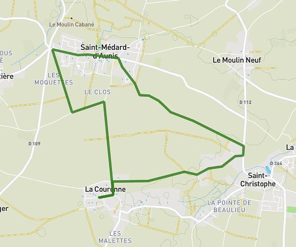
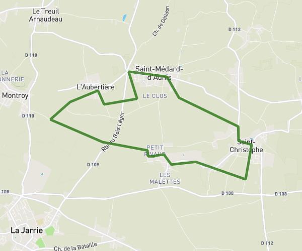
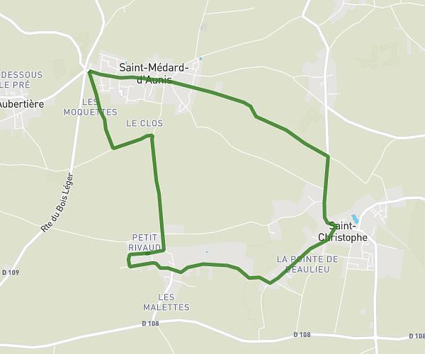
This running route covers 3.465mi starting from Prin-Deyrançon, Deux-Sèvres. The run is a loop trail and returns to the trailhead. This run is rated as easy, expect about 30m25s to complete it. The route has an elevation gain of 72ft and an elevation loss of 72ft.
Test Garmin
Route details
6.84mph
Speed
348 kcal
Calories burned
Loop trail
Route type
30ft
Min altitude
69ft
Max altitude
Route profile
72ft
Elevation gain
72ft
Elevation loss
30ft
Min altitude
69ft
Max altitude
How to get there
Trailhead: Rue De L'aunis, 79210 Prin-Deyrançon
GPS coordinates of the trailhead: 46.22159, -0.63859 / 46°13'17'' N, 0°38'18'' W