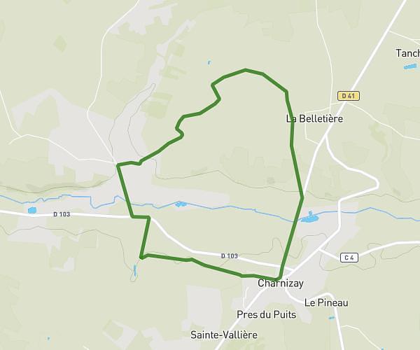
This hiking trail covers 6.841mi starting from Loches, Indre-et-Loire. The hike is a loop trail and returns to the trailhead. This hike is rated as moderate, plan for about 2h12m to complete it. The route has an elevation gain of 472ft and an elevation loss of 469ft.
FERMERETTE boucle
Route details
3.11mph
Speed
945 kcal
Calories burned
2.6%
Avg grade
Loop trail
Route type
220ft
Min altitude
459ft
Max altitude
Route profile
472ft
Elevation gain
469ft
Elevation loss
220ft
Min altitude
459ft
Max altitude
How to get there
Trailhead: 31 Rue Des Petites Maisons, 37600 Loches, France
GPS coordinates of the trailhead: 47.1435, 1.007 / 47°8'36'' N, 1°0'25'' E