Before heading out on a hike or trail run, planning your route can make a huge difference. Distance, elevation gain, terrain type, and navigation all influence the difficulty and enjoyment of your outing.
But how do you know if a route is suitable? Is the elevation gain too demanding? Does the route actually follow real trails?
Online maps have become powerful tools for visualising paths, analysing terrain, and preparing your route in advance. They allow you to:
-
estimate total distance
-
analyse elevation gain
-
assess route difficulty in advance
-
check for the presence of trails or tracks
-
visualise terrain and surroundings
Here are several useful tools to help you plan outdoor outings effectively.
Google Maps: Useful for Access but Limited for Hiking
Google Maps is the most widely used tool for planning travel routes.
It helps you:
-
find a starting location
-
check road access
-
plan public transport routes
However, it has a major limitation for outdoor activities: many hiking trails are not displayed.
It is useful for reaching a trailhead but not ideal for planning a hiking route.
Plan your own route
MapPlanner helps you calculate distances, elevation, duration and plan your hikes, runs and bike rides on an interactive map.
- Automatic distance & elevation calculation
- Topographic, satellite maps
- GPX/KML export for your GPS
- Real-time GPS tracking
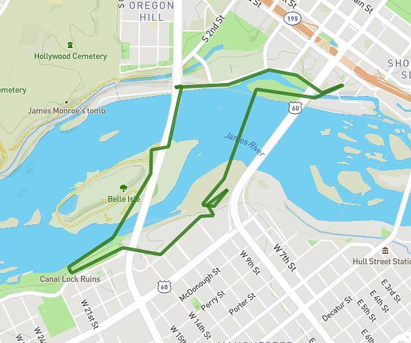
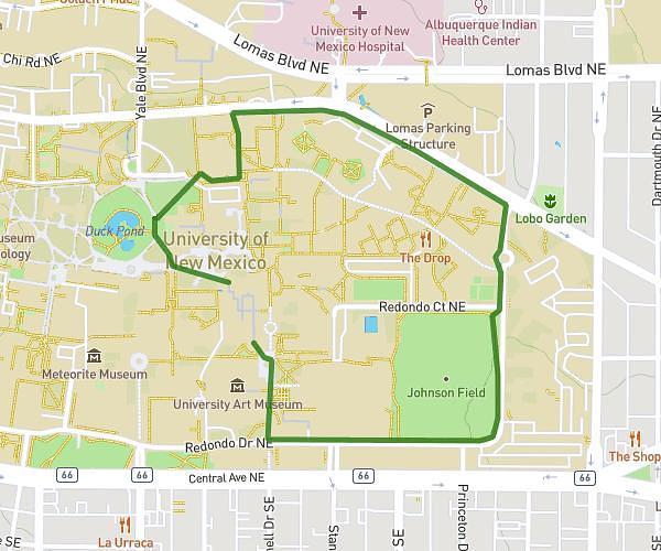
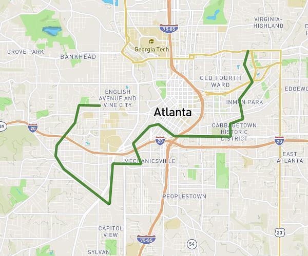
Map Planner: A Powerful Tool for Planning Routes
Map Planner is one of the most useful tools for planning a hiking or trail running route.
It offers several features designed for outdoor activities, including:
-
hiking maps
-
elevation profile visualisation
-
hillshade terrain maps
-
clear distance and elevation estimates
The interface is simple and allows you to draw a route quickly along existing trails.
For many outdoor enthusiasts, it is one of the most practical tools for planning routes.
Other Route Planning Tools
Several other websites allow you to plan hiking or trail running routes. Some are very popular but may require a paid account to access all features.
On The Go Map
https://onthegomap.com/#/create
A simple tool for drawing routes and calculating distance. It is mainly used for:
-
running
-
cycling
-
urban routes
Komoot
https://www.komoot.com/fr-fr/plan/
Komoot is very popular among hikers and cyclists.
It allows you to:
-
plan routes
-
discover routes shared by other users
-
navigate using a mobile app
Some advanced features require a paid subscription.
AllTrails
https://www.alltrails.com/fr/explore/custom-routes/new
AllTrails is well known for:
-
discovering existing hiking routes
-
reading user reviews
-
creating your own routes
Full access also requires a subscription.
Outdooractive
https://www.outdooractive.com/fr/routeplanner/
Outdooractive offers a very comprehensive route planner with:
-
topographic maps
-
suggested routes
-
detailed planning tools
It is powerful but slightly less intuitive for occasional users.
Choosing the Right Planning Tool
Each tool has its strengths depending on your needs:
-
Google Maps: useful for reaching the trailhead
-
Map Planner: excellent for planning routes
-
Komoot / AllTrails: discovering popular routes
Often the best solution is to combine several tools when planning a hike.
Proper planning not only optimises your route but also helps avoid unpleasant surprises once you are on the trail.
For trail runners and hikers alike, taking a few minutes to study a map is one of the best ways to enjoy an outdoor outing.