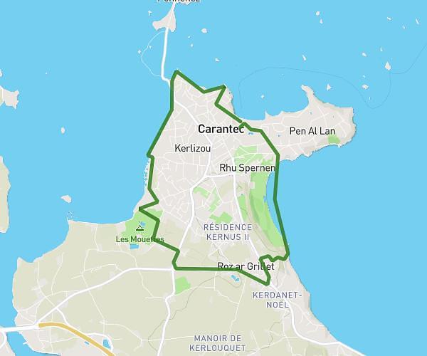
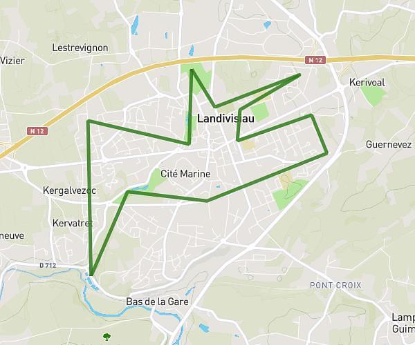
This running route covers 3.67mi starting from Morlaix, Finistère. The run is a loop trail and returns to the trailhead. This run is rated as easy, expect about 35m to complete it. The route has an elevation gain of 217ft and an elevation loss of 213ft.
Morlaix aéroport 5.5K
Route details
6.29mph
Speed
400 kcal
Calories burned
Loop trail
Route type
141ft
Min altitude
285ft
Max altitude
Route profile
217ft
Elevation gain
213ft
Elevation loss
141ft
Min altitude
285ft
Max altitude
How to get there
Trailhead: Rue Du Maréchal Foch, 29600 Morlaix
GPS coordinates of the trailhead: 48.58509, -3.82791 / 48°35'6'' N, 3°49'40'' W