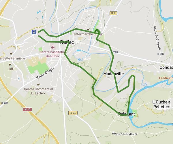
This hiking trail covers 17.452mi starting from Alloue, Charente. The hike does not return to the trailhead and ends near 3 Place De L'église, 86400 Savigné, France. This hike is rated as hard, plan for about 7h1m to complete it. The route has an elevation gain of 1020ft and an elevation loss of 1112ft.
alloue savigne 28km
Route details
2.49mph
Speed
3004 kcal
Calories burned
2.3%
Avg grade
Point to point
Route type
384ft
Min altitude
571ft
Max altitude
Route profile
1020ft
Elevation gain
1112ft
Elevation loss
384ft
Min altitude
571ft
Max altitude
How to get there
Trailhead: Route De Benest, 16490 Alloue, France
GPS coordinates of the trailhead: 46.0324, 0.48919 / 46°1'56'' N, 0°29'21'' E