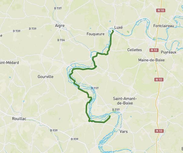
This hiking trail covers 5.105mi starting from Ruffec, Charente. The hike is a loop trail and returns to the trailhead. This hike is rated as easy, plan for about 1h37m to complete it. The route has an elevation gain of 341ft and an elevation loss of 341ft.
Boucle gare et rejaillant
Route details
3.16mph
Speed
693 kcal
Calories burned
2.5%
Avg grade
Loop trail
Route type
269ft
Min altitude
358ft
Max altitude
Route profile
341ft
Elevation gain
341ft
Elevation loss
269ft
Min altitude
358ft
Max altitude
How to get there
Trailhead: 31 Rue Gambetta, 16700 Ruffec, France
GPS coordinates of the trailhead: 46.02989, 0.19154 / 46°1'47'' N, 0°11'29'' E